ALTIDUDE TRIBE ON TOUR IN SAREK NATIONAL PARK – PART 2/4
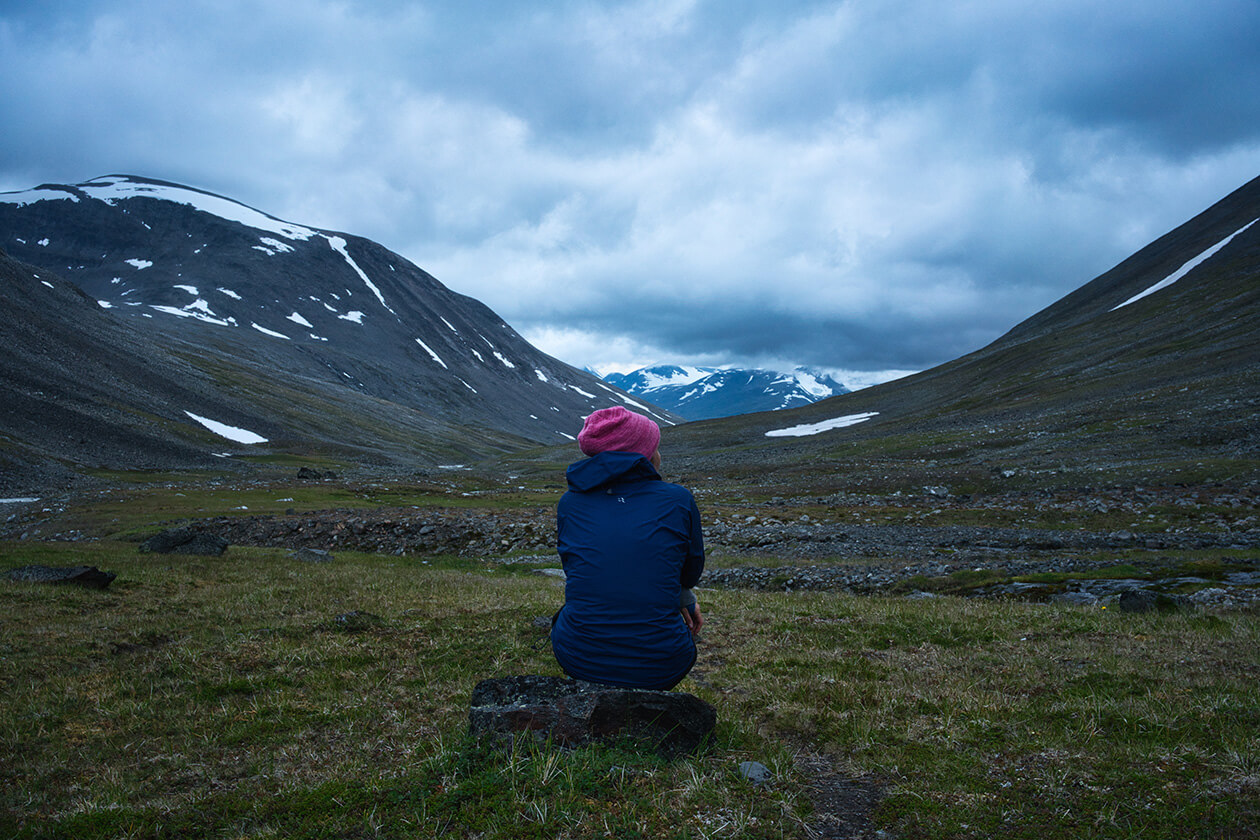
07.08.2019 - Day 5 (Gierdogiesjtjåhkka > Niehter > Rådnik - 14,4 km):
We awoke to the sound of (surprise, surprise) rain on the tent. That morning we pulled a weather report off the GPS device and it was supposed to stop raining sometime during the afternoon.
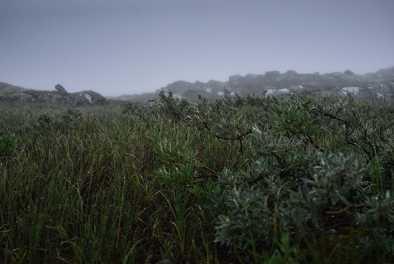
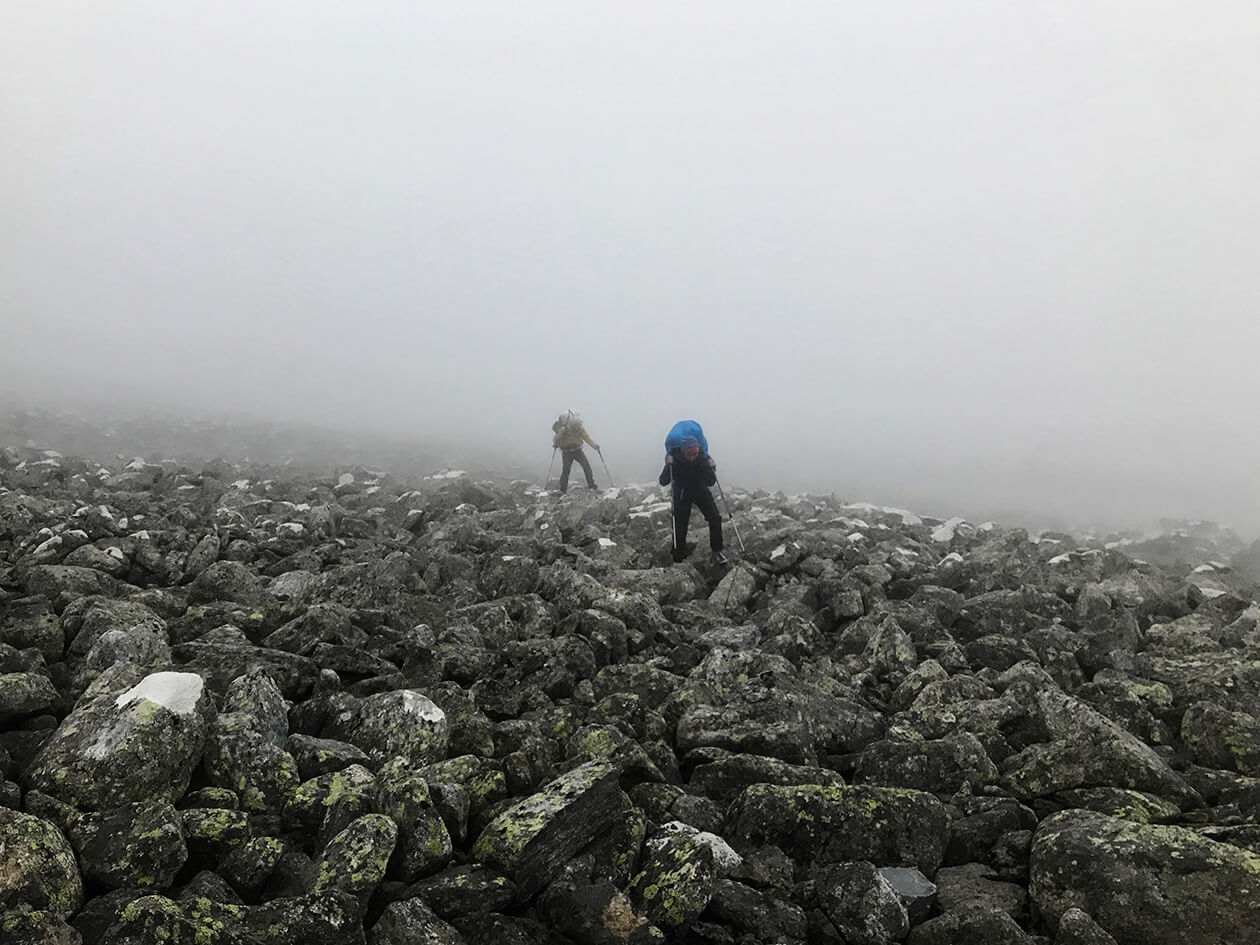
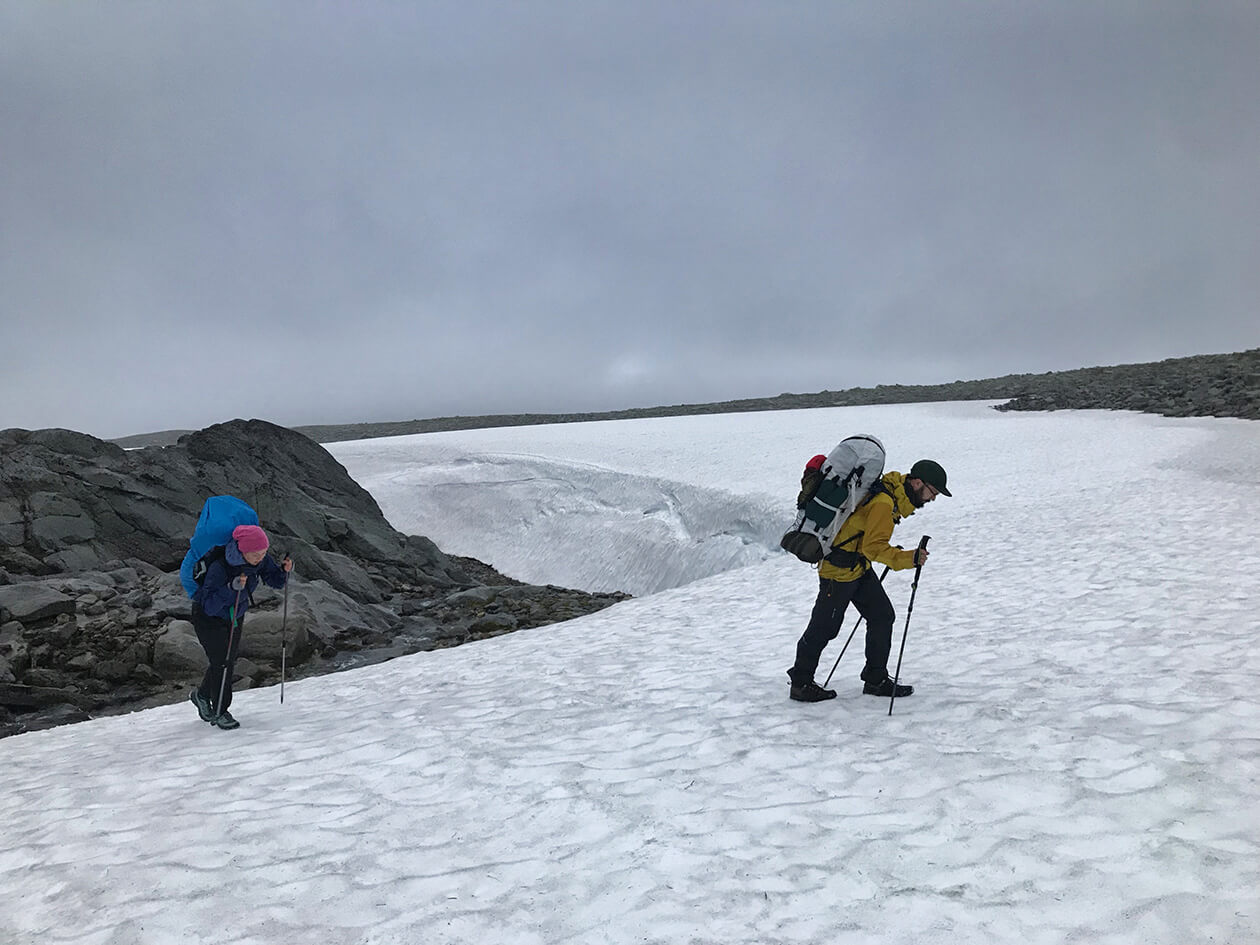
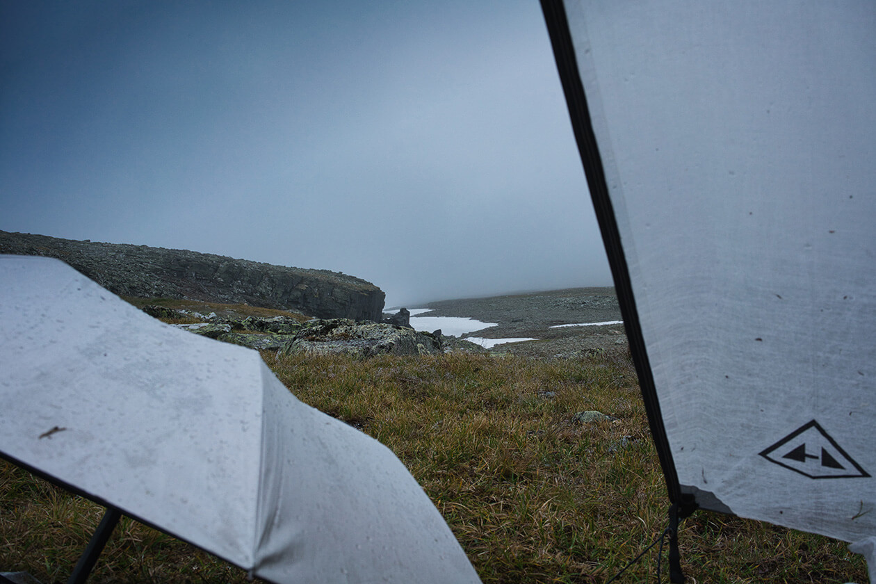
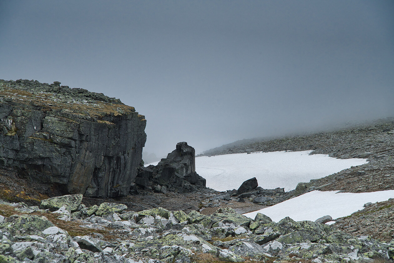
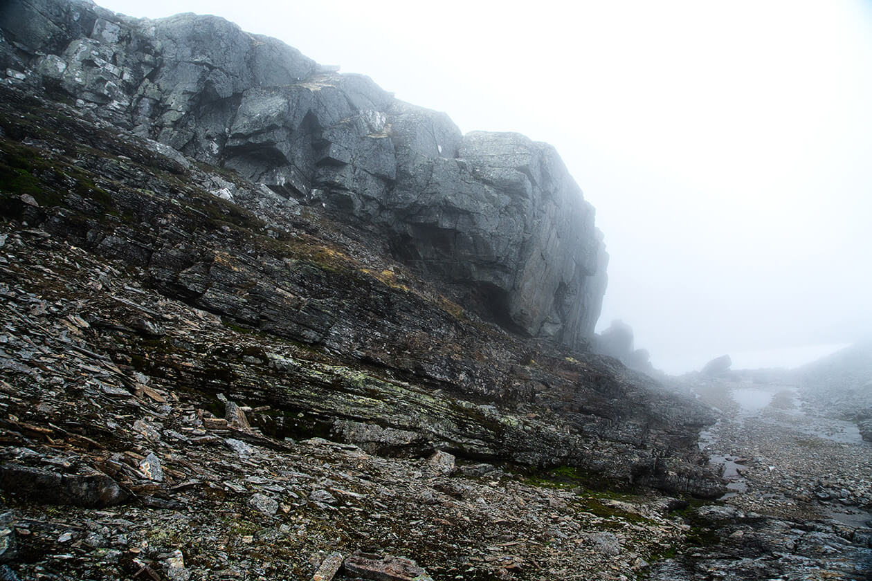
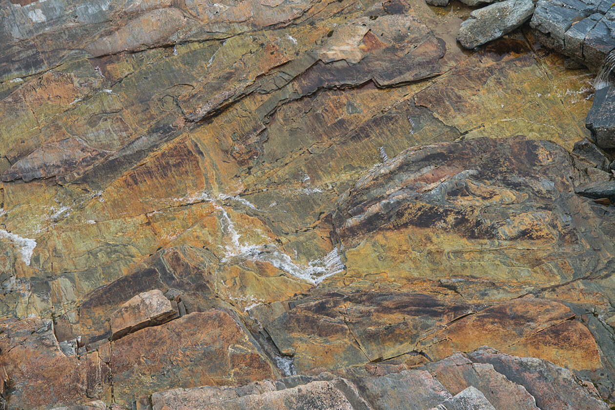
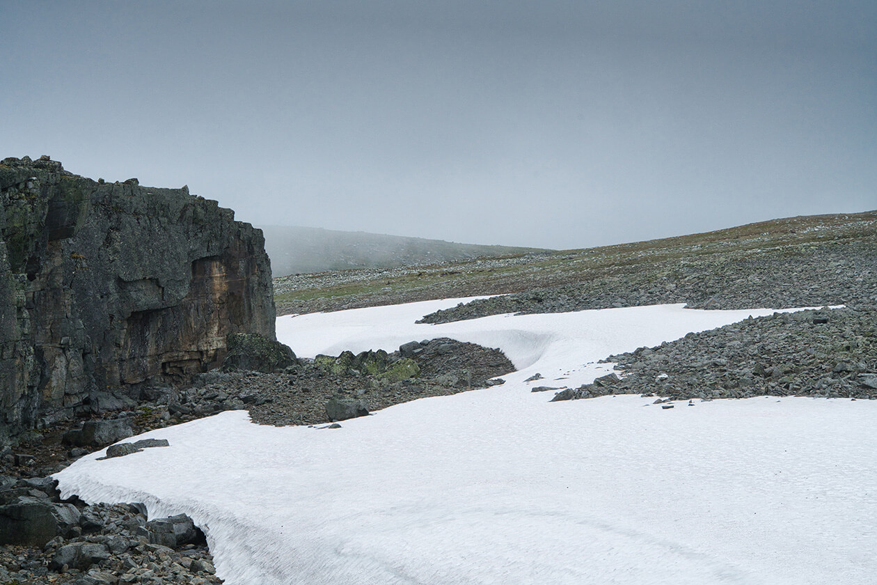
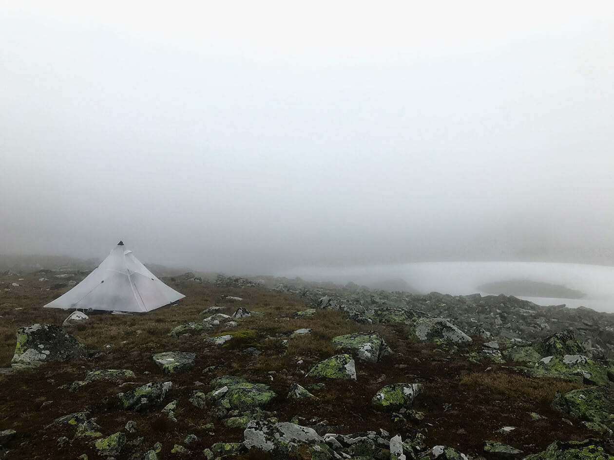
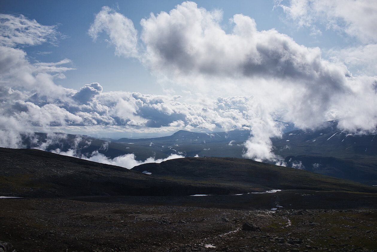
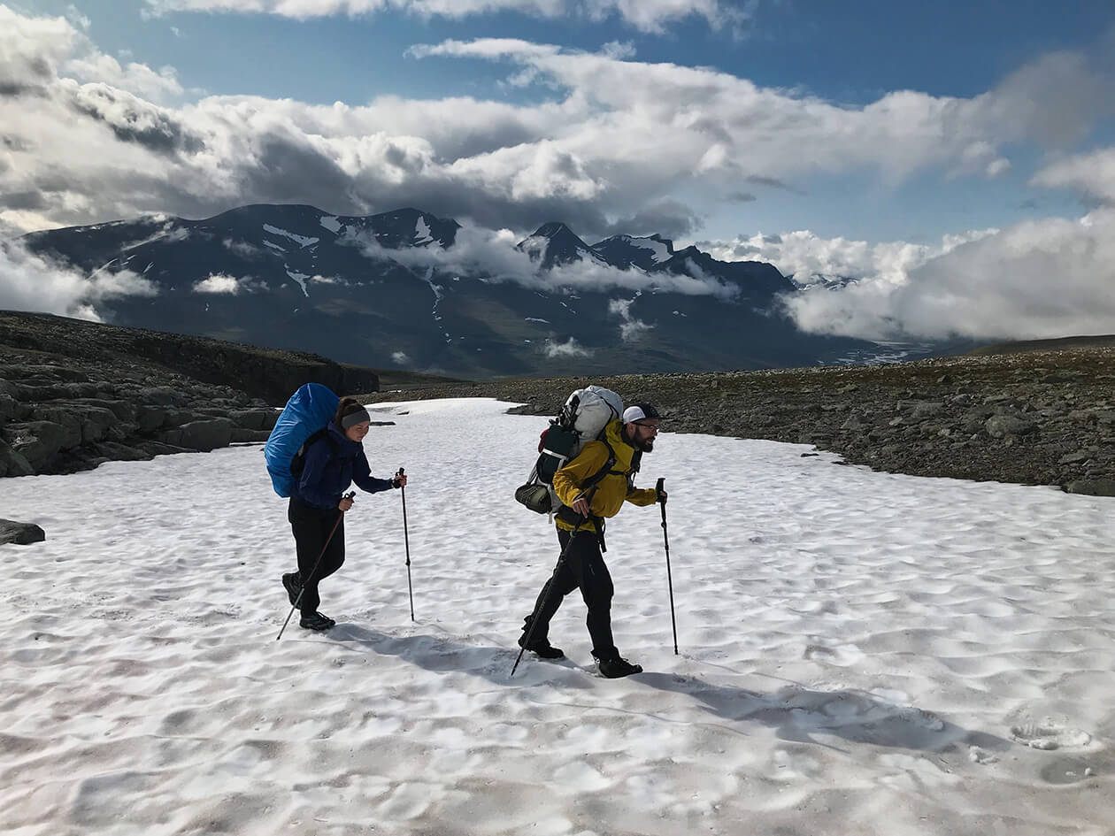
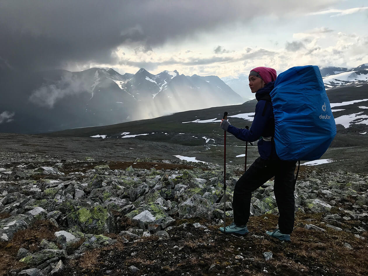
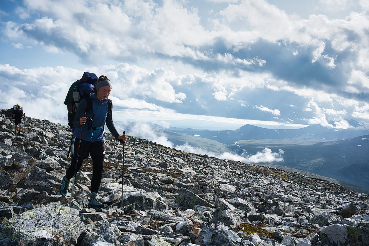
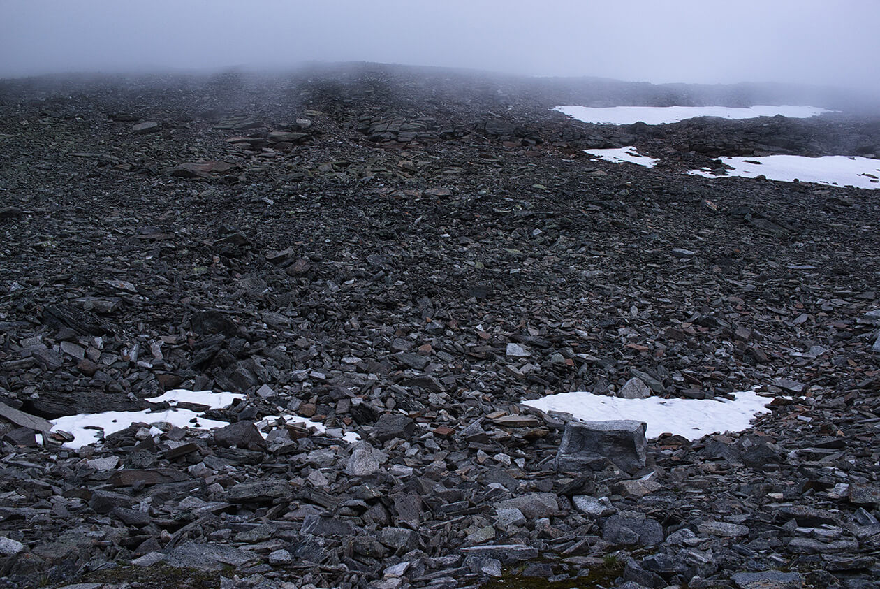
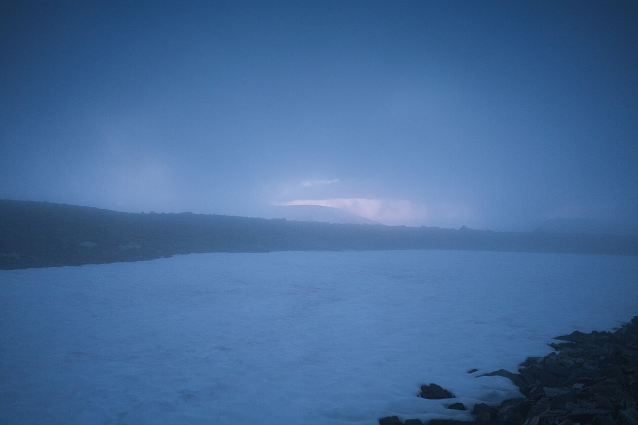
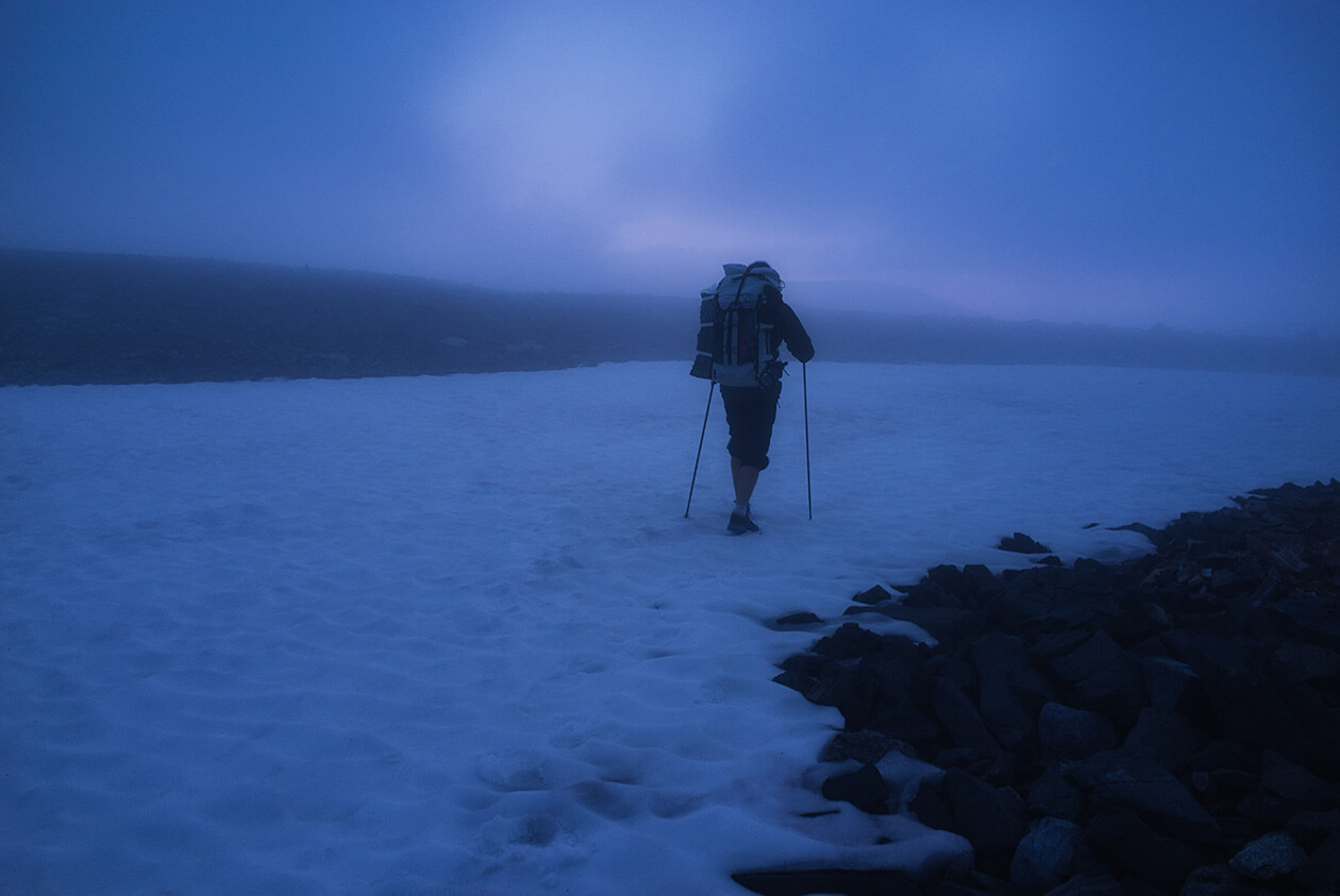
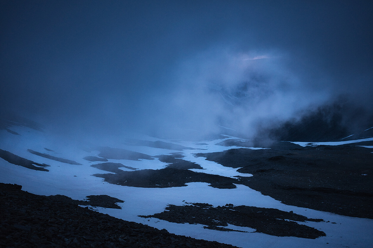
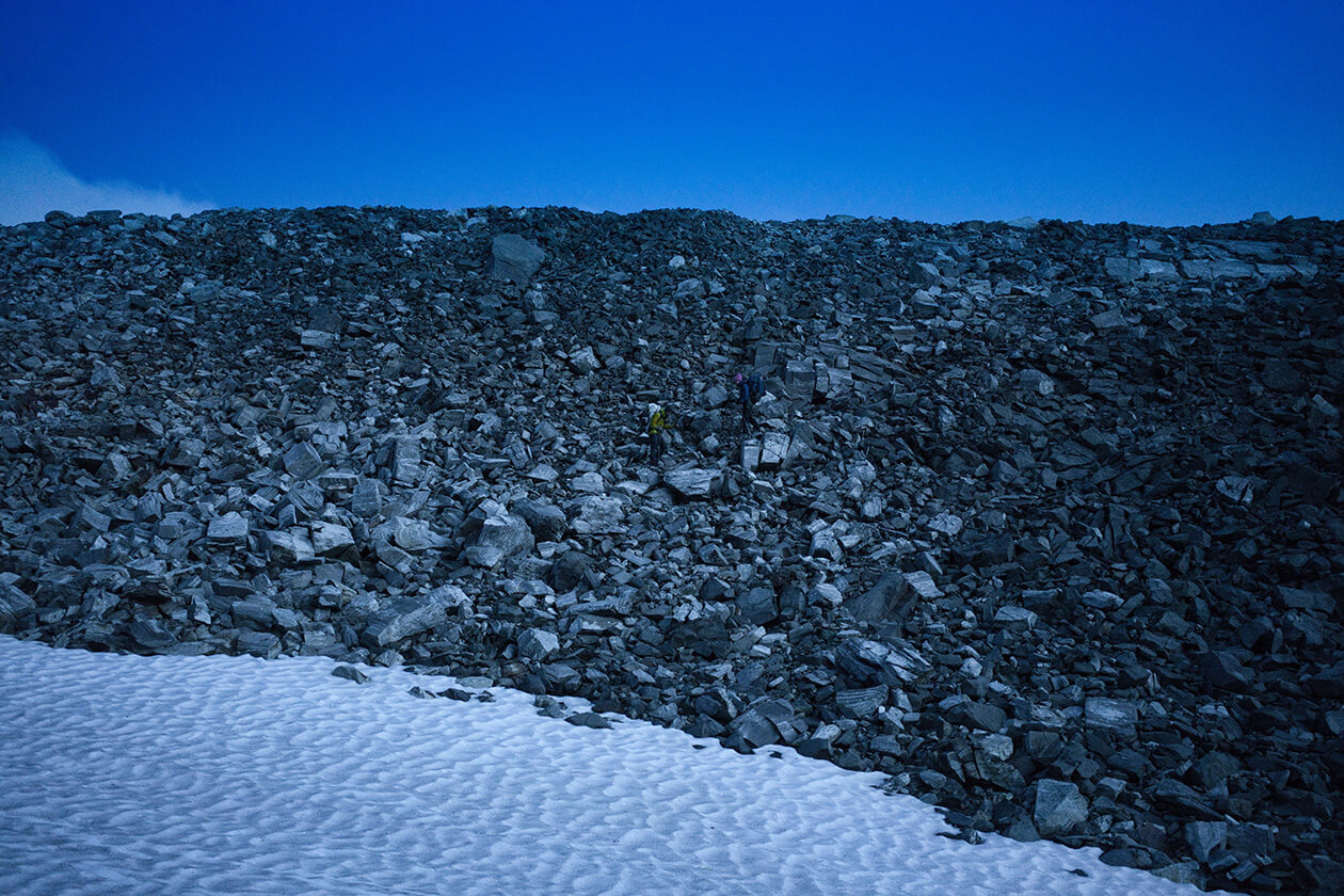
The report was right - At some point in the afternoon, the rain did stop. The humidity was still very high, though, and the fog was pretty dense but we decided to start hiking anyway. The plan was to see how far we would get that day. The general direction was toward Vássjávágge. There would be a couple mountains we would have to scramble over to get there. The rocks were very slippery due to the high humidity and the ascents and descents were pretty steep. Most of the time we were scrambling over rocks. The fog made navigation quite tricky. Often, in bad weather conditions, the GPS has a longer delay before you can see which direction you are actually heading. When the skies are clear this usually works much better. In general, it is a good idea to use the GPS only as a routing device and trust your compass for directions. That day we encountered many snowfields that we had to traverse.
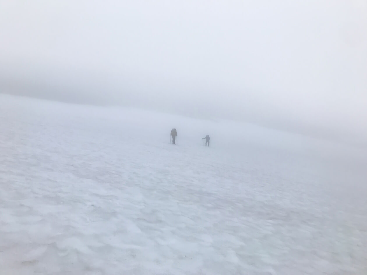
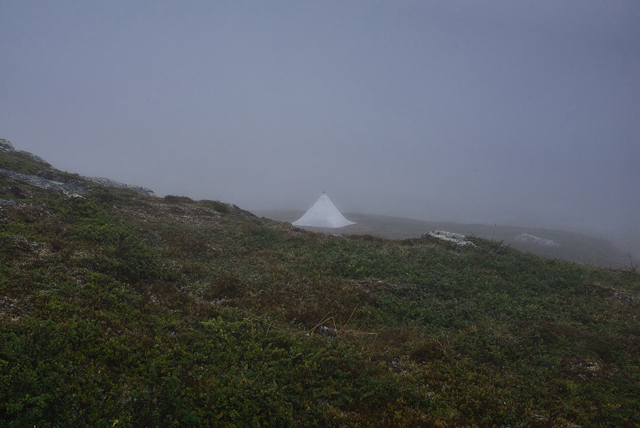
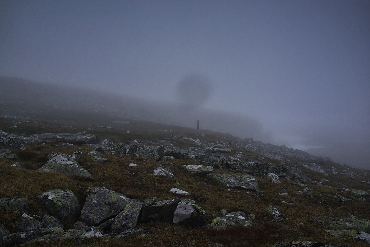
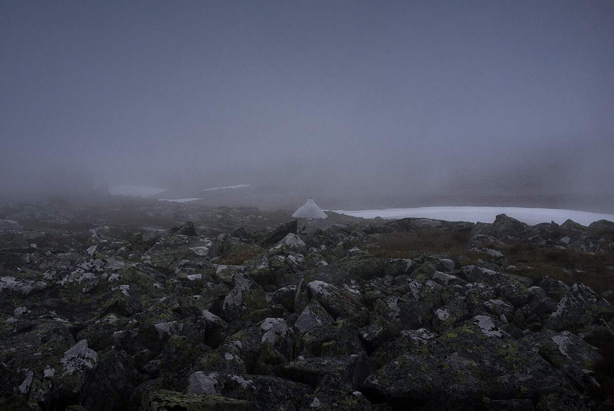
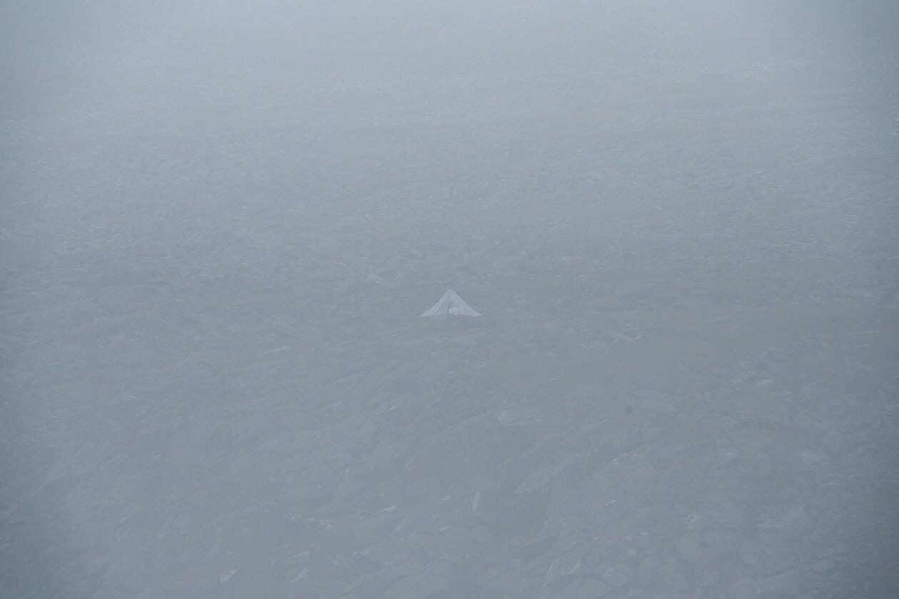
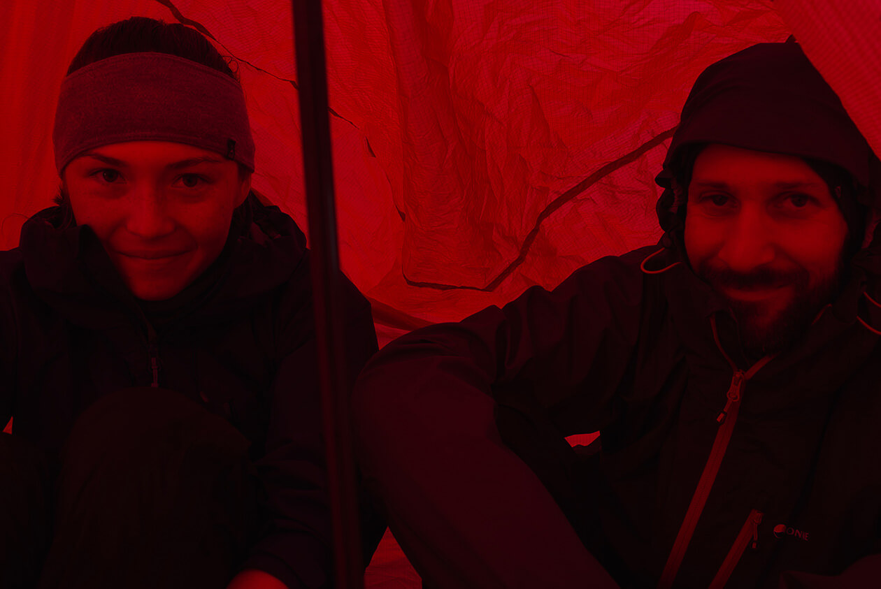
Since we had started hiking rather late that day, it started to get dark. And the dense fog made it even darker. During the last stretch it was getting so dark and the visibility was so bad that for a short time we lost each other in the fog. I had rushed ahead to check out a potential campsite. I was ahead of the others maybe about 200 meters, when a thick bank of fog rolled in and they could not see me anymore. After I had found the campsite, I attached my LED headlamp to my pack so they could see where I was but the light couldn’t penetrate the thick fog. In the end we had to use our whistles and shout to group up again. By some stroke of good luck, we had found the one perfectly level campsite in Rådnik amidst a field of massive boulders. It was perfectly level and had the perfect footprint for our tent. I knew that that spot overlooked the northern end of the Rapadalen. But to no avail. The weather made any hope of a view wishful thinking. All night long we could hear the rain pounding on the tent.

08.08.2019 - Day 6 (Bad weather zeroday):
We awoke and zipped open the tent. This was going to be a lazy day, we thought as we saw that the weather had not changed one bit.
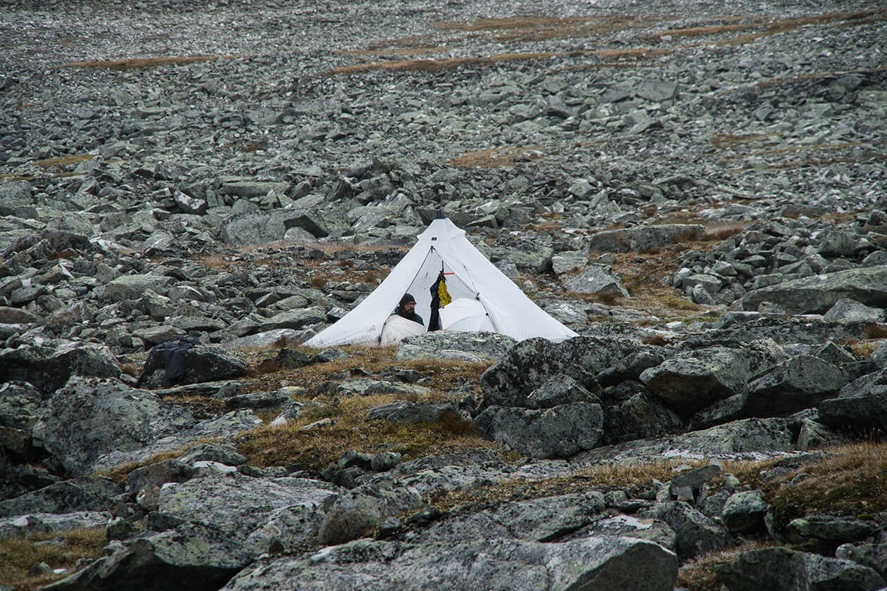
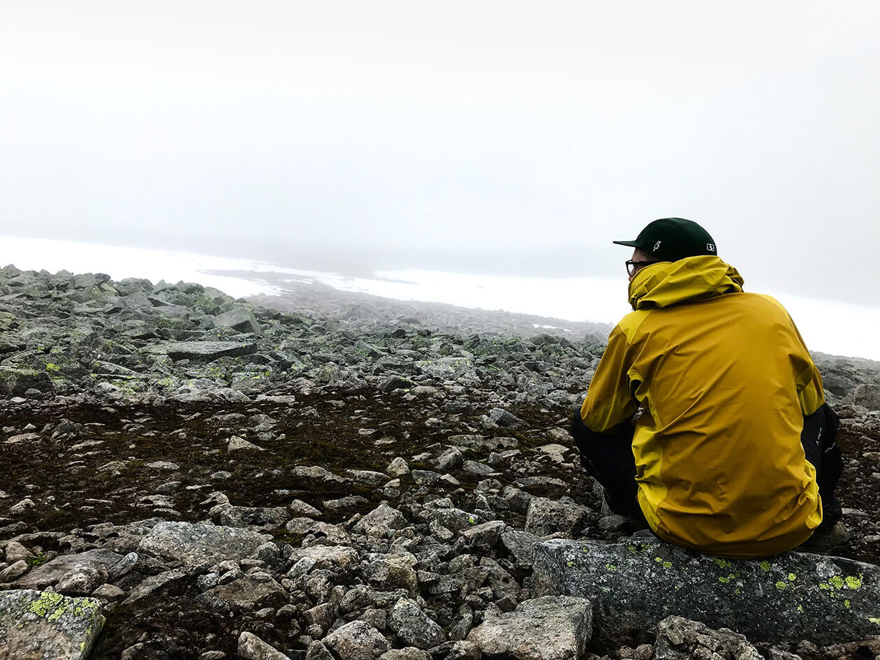
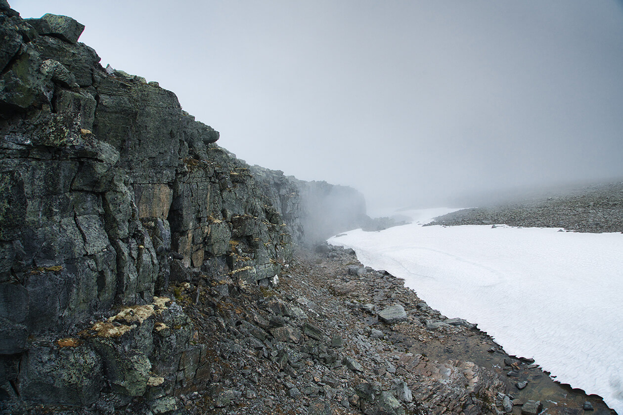
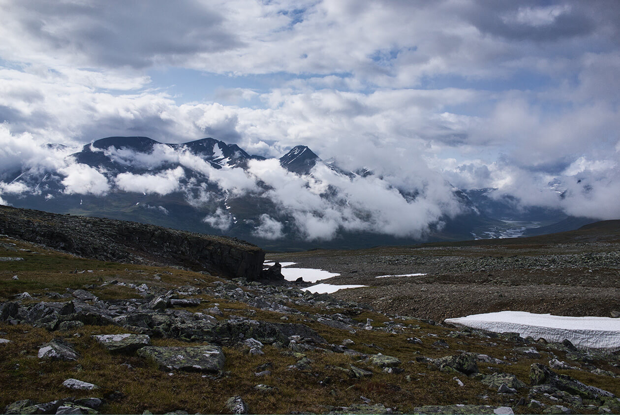
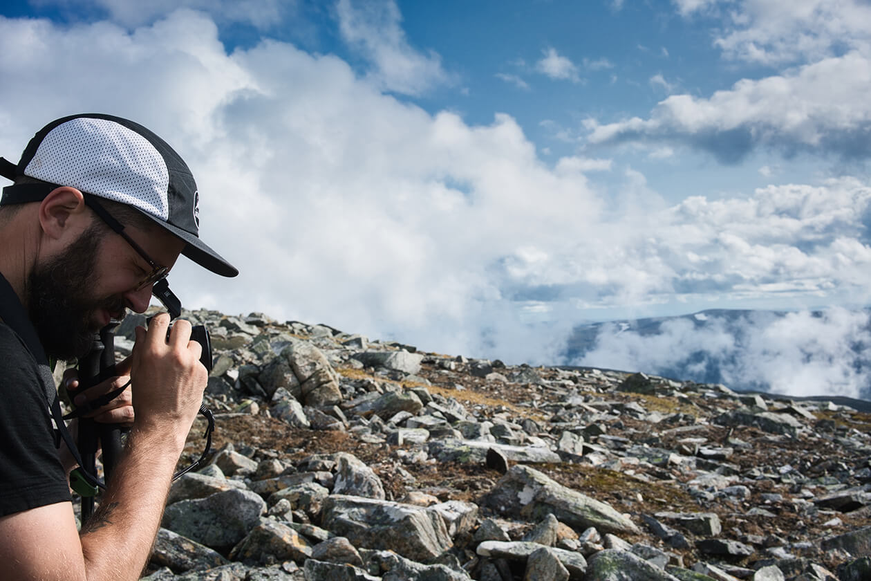
The weather report said the same. It was going to be raining all day so we decided to make it a day for relaxing in the tent. Since the next stretch of our route would take us through some really beautiful areas of Sarek, we didn’t want to miss out on all those awesome views. And, for a short time, the clouds opened up to reveal the northern part of Rapadalen, showing us that we had indeed chosen a great campsite. That day we scouted around Rådnik, taking some photos, every time the rain stopped.
09.08.2019 - Day 7 (Rådnik > Dågarlåbddå > Vássjábákte > Skajdasjvágge - 11 km):
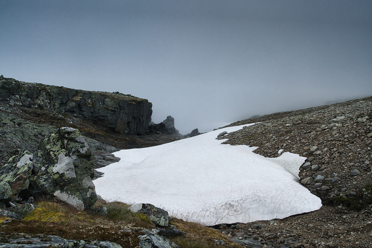
That morning there was more rain and mist blocking our view as we unzipped the tent to take a peek. But it looked like something was happening with the weather. We could feel the warmth of the sun through the blanket of clouds.
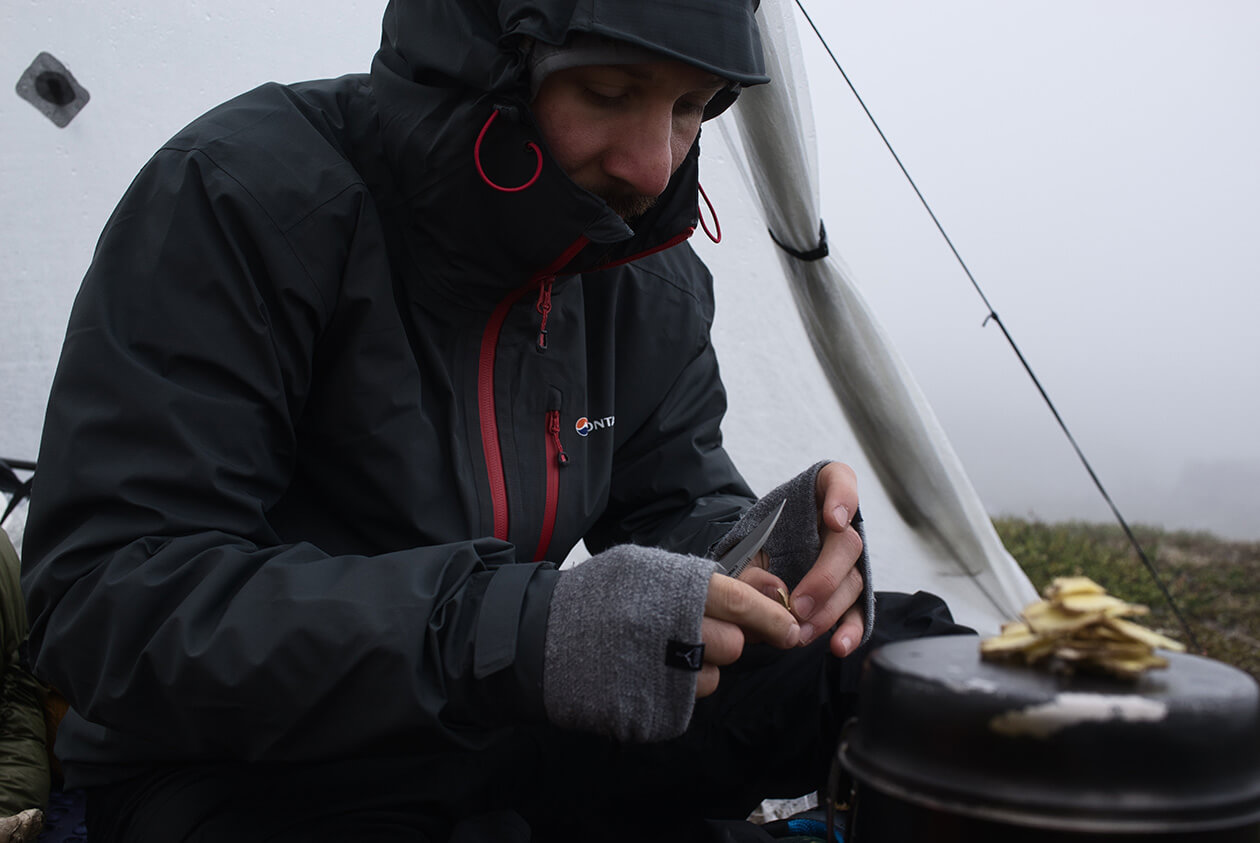
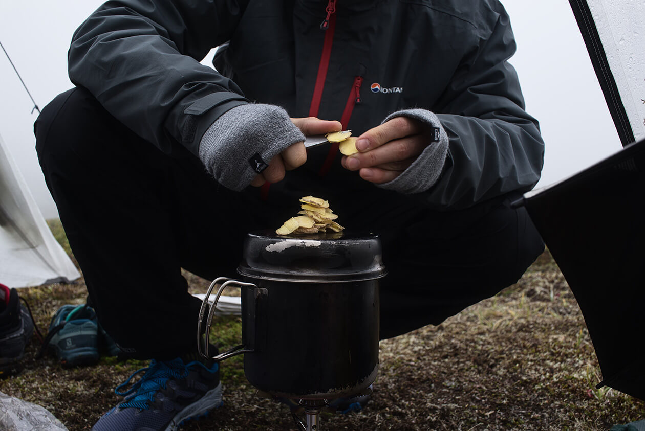
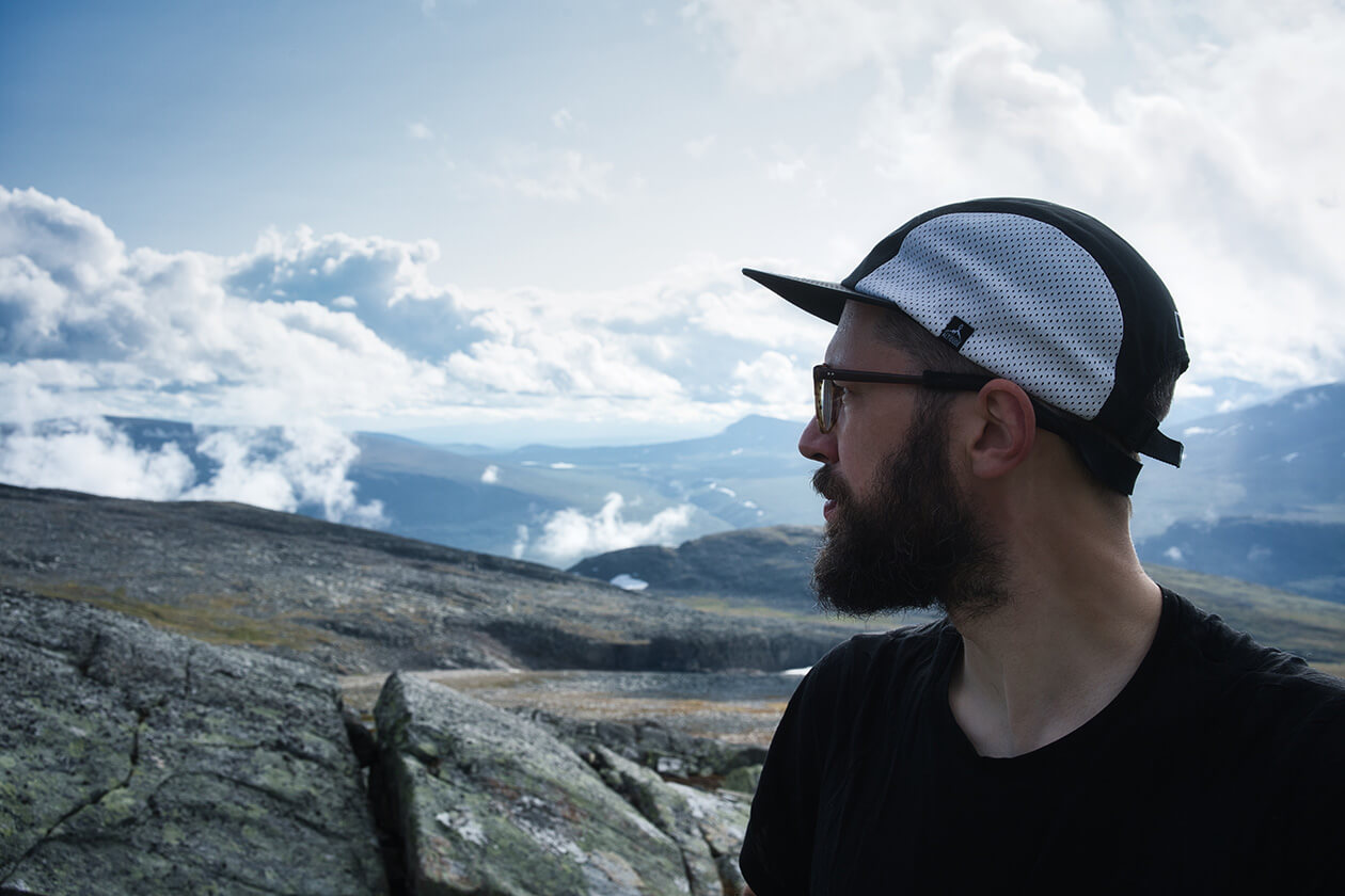
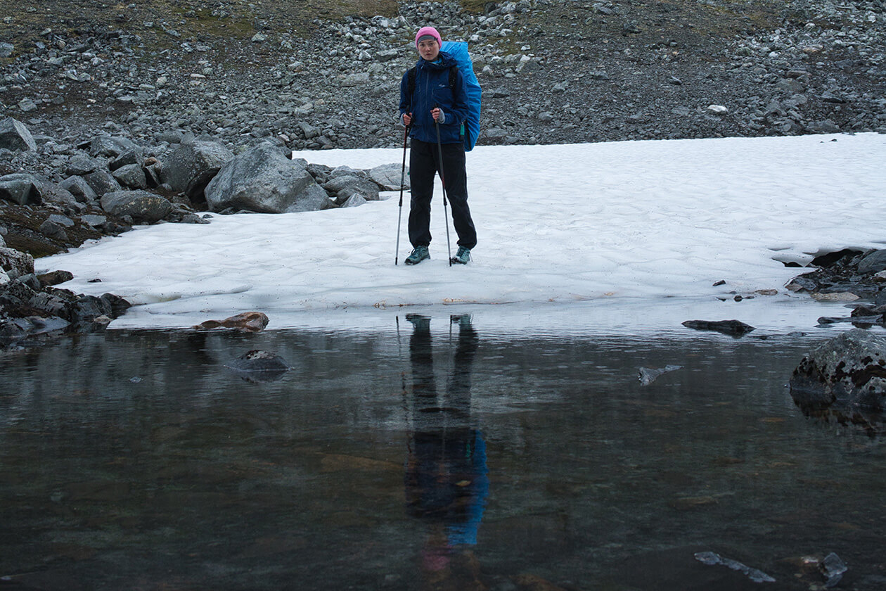
The mist was rising to form actual clouds that we could see as shapes rather than just fog. Here and there a glimpse of blue sky and a ray of sun broke through the clouds. This was very promising. As it got even warmer, we decided to grab the camera and take some photos. And scouting around, we found a pool where the stream collected into what looked like a small bathtub of really smooth rocks. The water was melting off a snowfield above and was ice cold. As we slowly slipped our bodies into the freezing water, they were instantly numbed, but it was freezingly refreshing at the same time. Warming up afterwards, it was a great sensation to feel fully clean for the first time after those first buggy days of sweating into our shells. Later that day, the weather cleared up and we decided to hike toward Basstavágge even though it was already quite late.
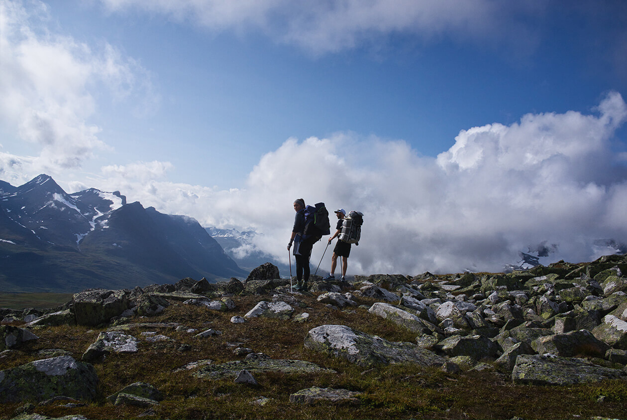
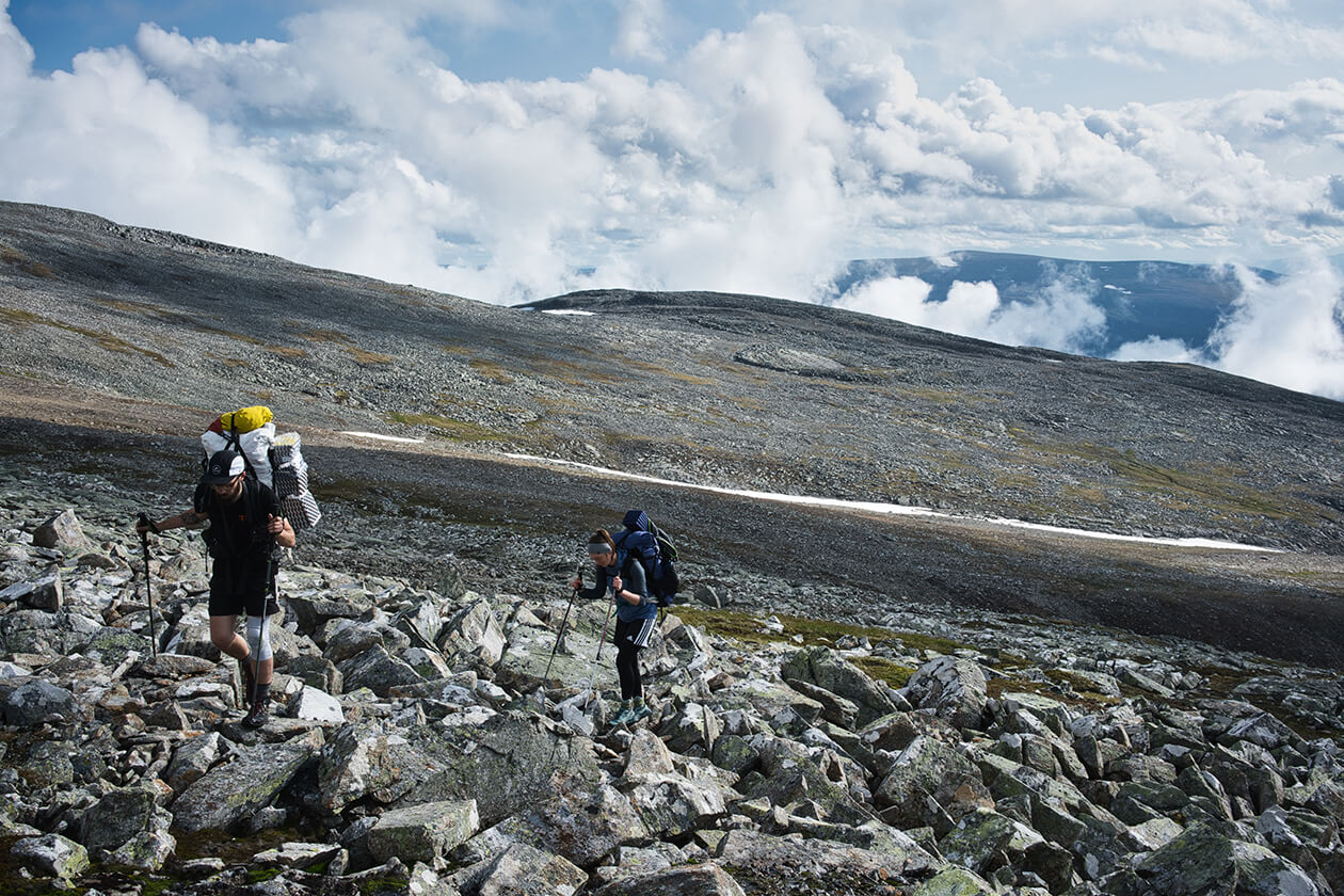
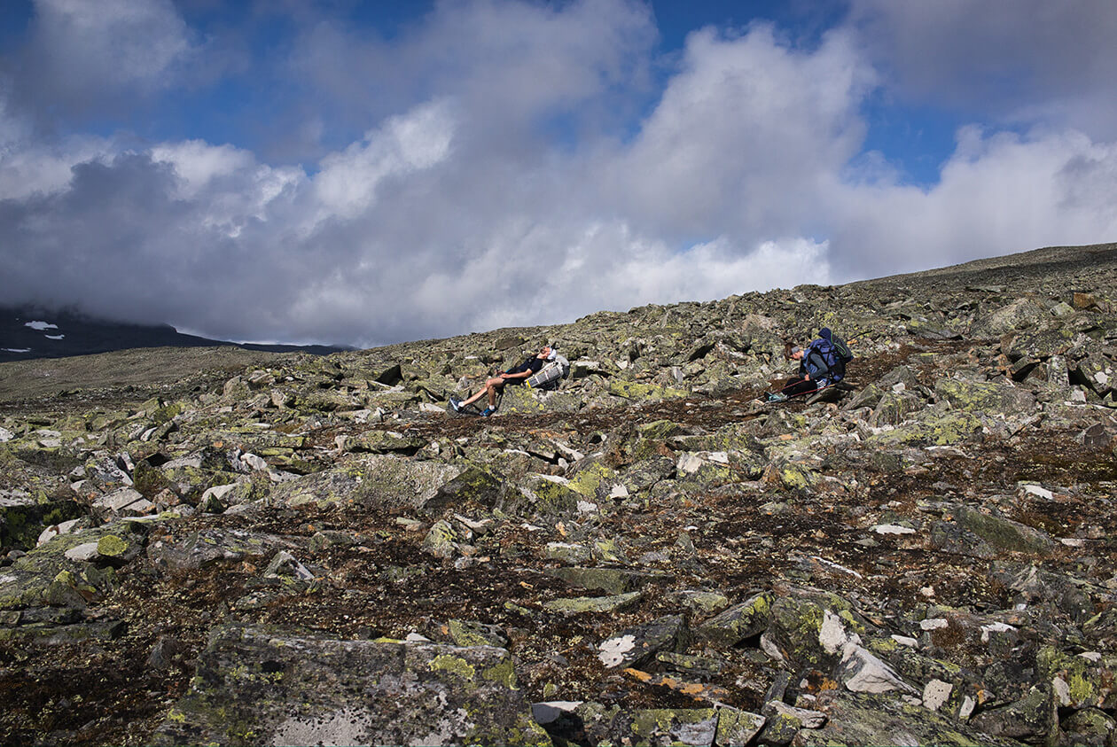
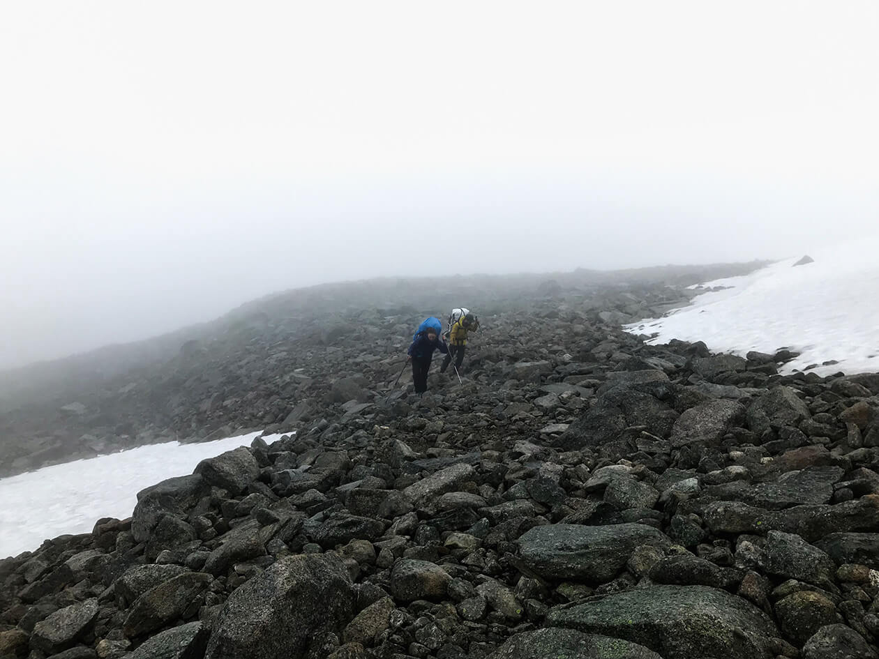
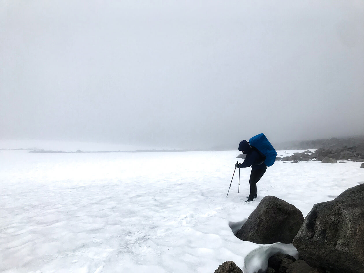
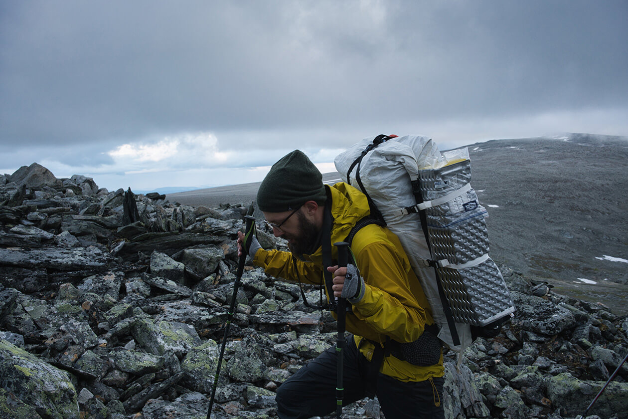
In Sarek the weather decides when we hike and night hikes are often preferable. It often happens that the weather is bad in the morning but stabilizes sometime after noon. This hike could be done end-to-end in 9 to 10 days, if the weather allowed it. We had brought food for 18 days just to be on the safe side. And as it turned out, this was a good idea. After a long stretch of rock scrambling we reached Vassjavágge and had a short break to refuel with food before starting to climb Dågarlåbddå, which would become very steep at the end - something like 85-90%. We got in the bothy bag instead of putting on warm clothing as we knew we would have to undress again during the strenuous ascent. In the bothy it’s always about 10 degrees Celsius warmer than on the outside. A bothy bag is like a tent but it gains its stability by just sitting in it. It’s an emergency shelter that you can use to escape the elements in a hurry. A great piece of gear to have in the mountains!
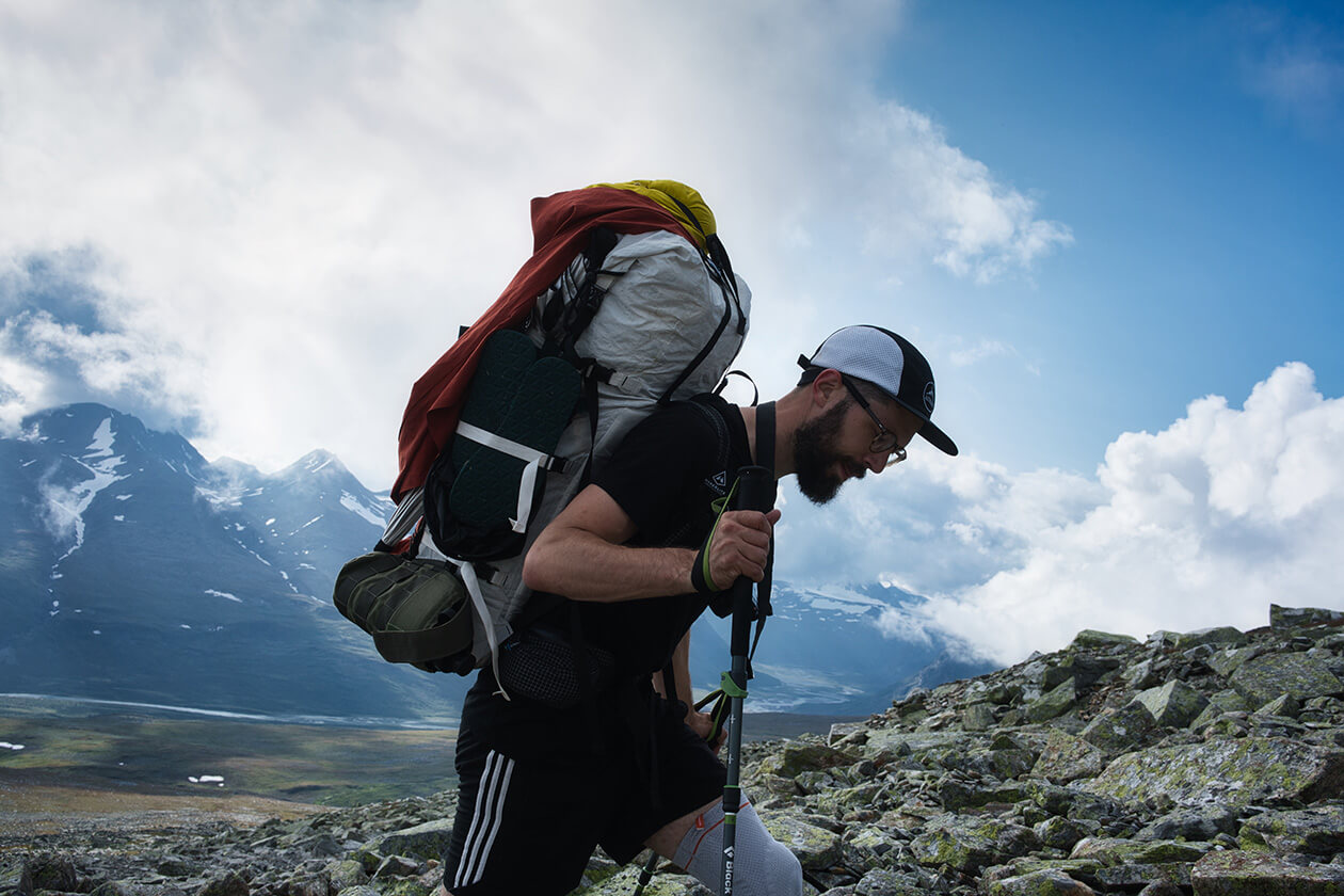
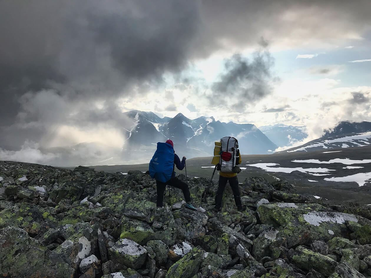
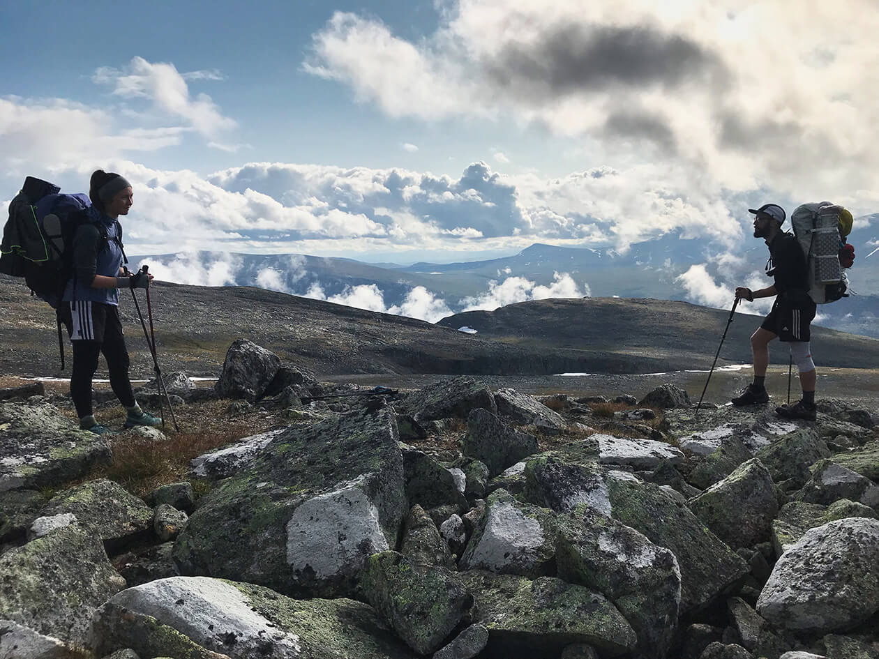
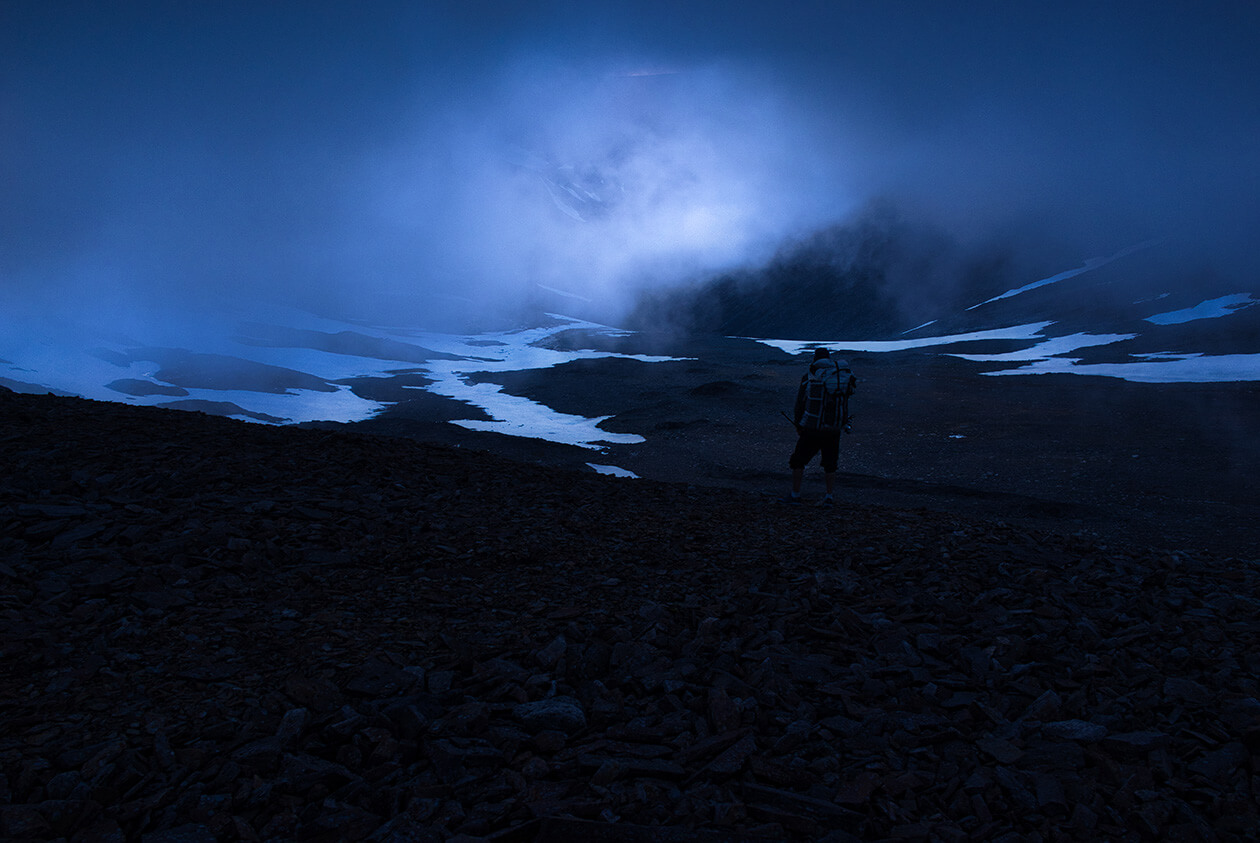
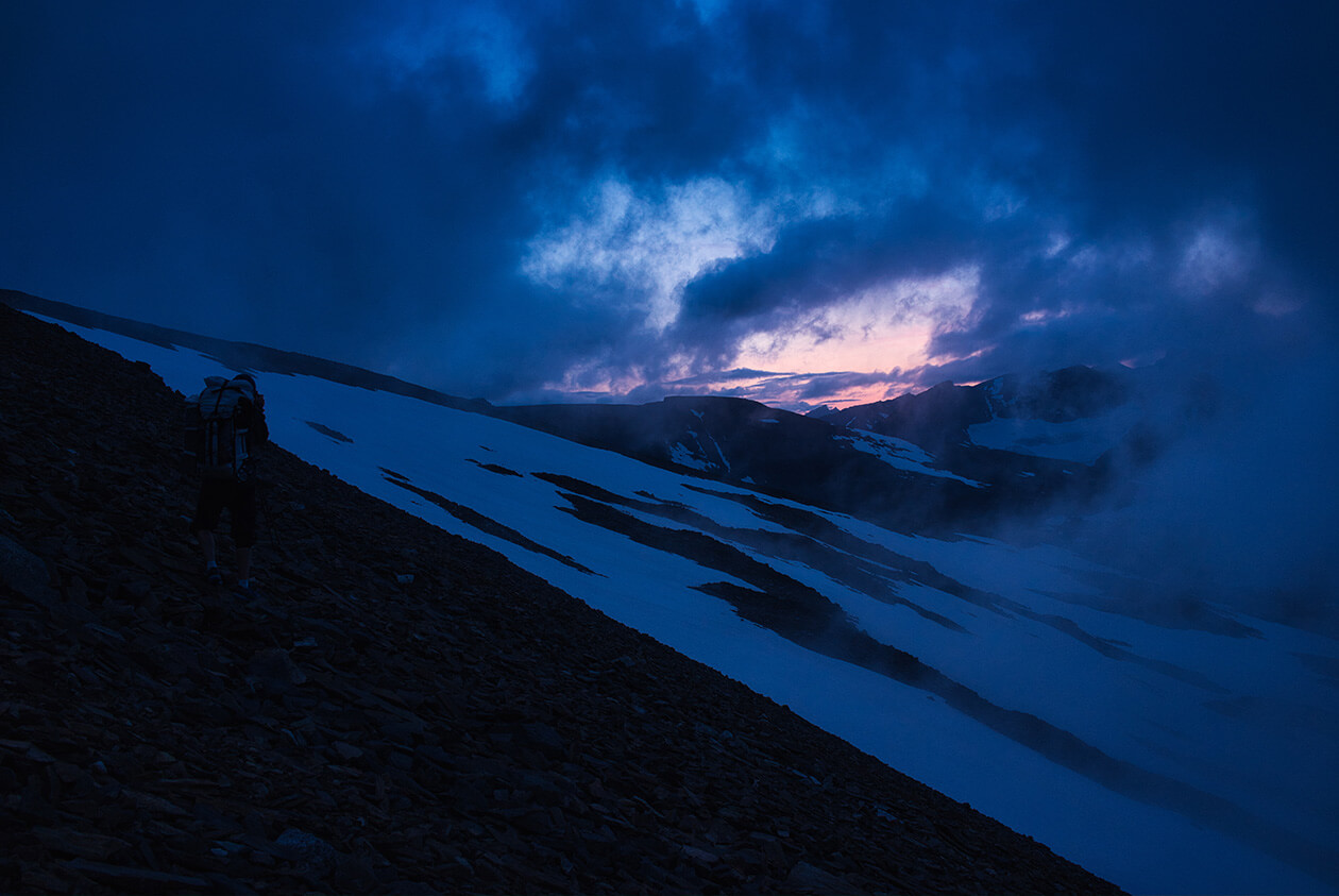
As we climbed higher and higher over the pass of Vássjábákte we were engulfed by thick fog about half way up which resulted in very low visibility. The moment we reached the summit after a very steep section of climbing up over loose rocks we could see some movement in the fog. It looked very promising and there was a glint of light shining through.
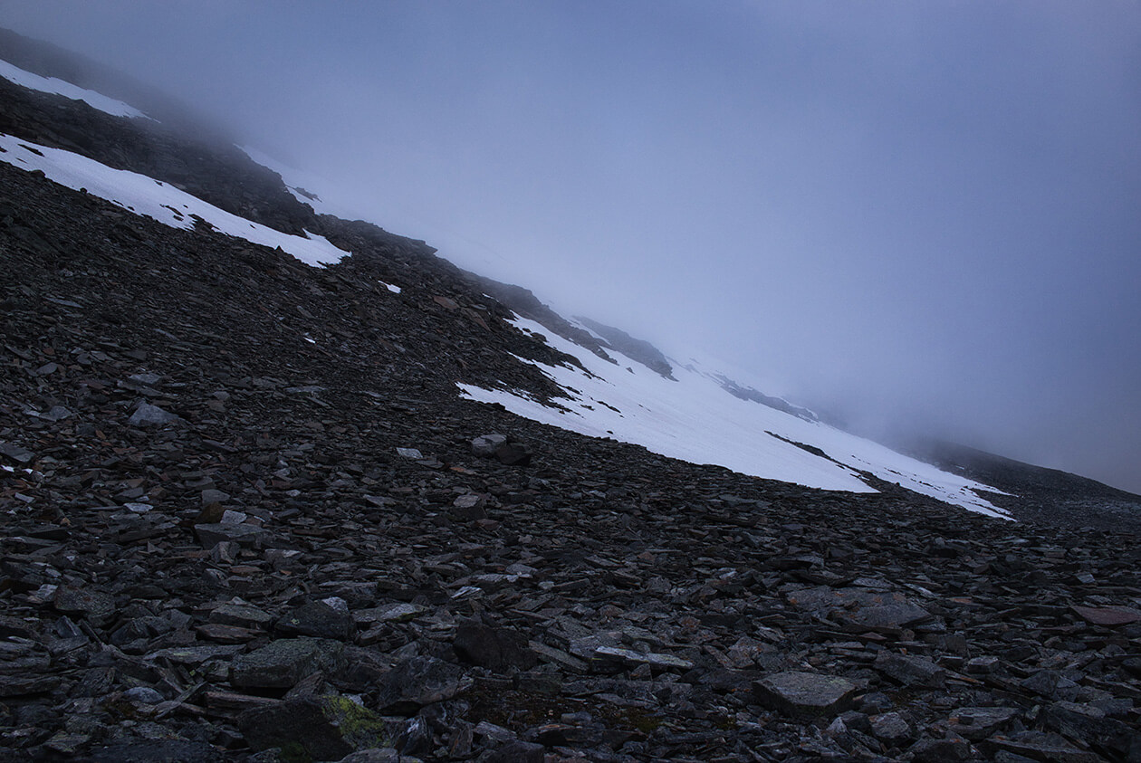
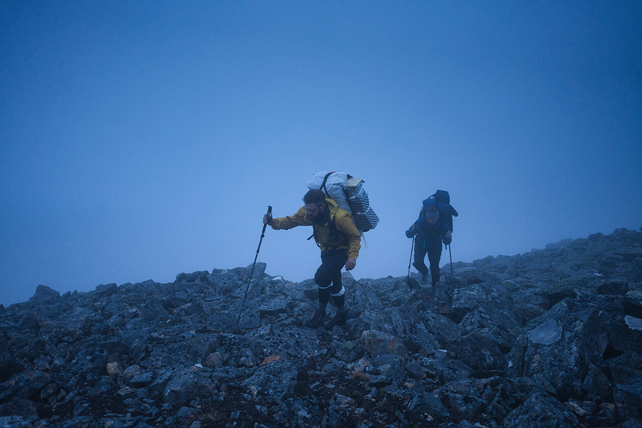
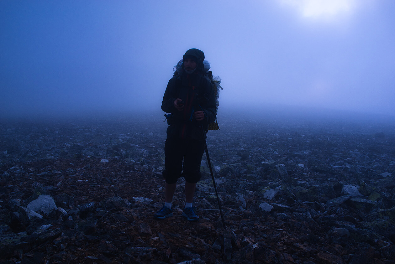
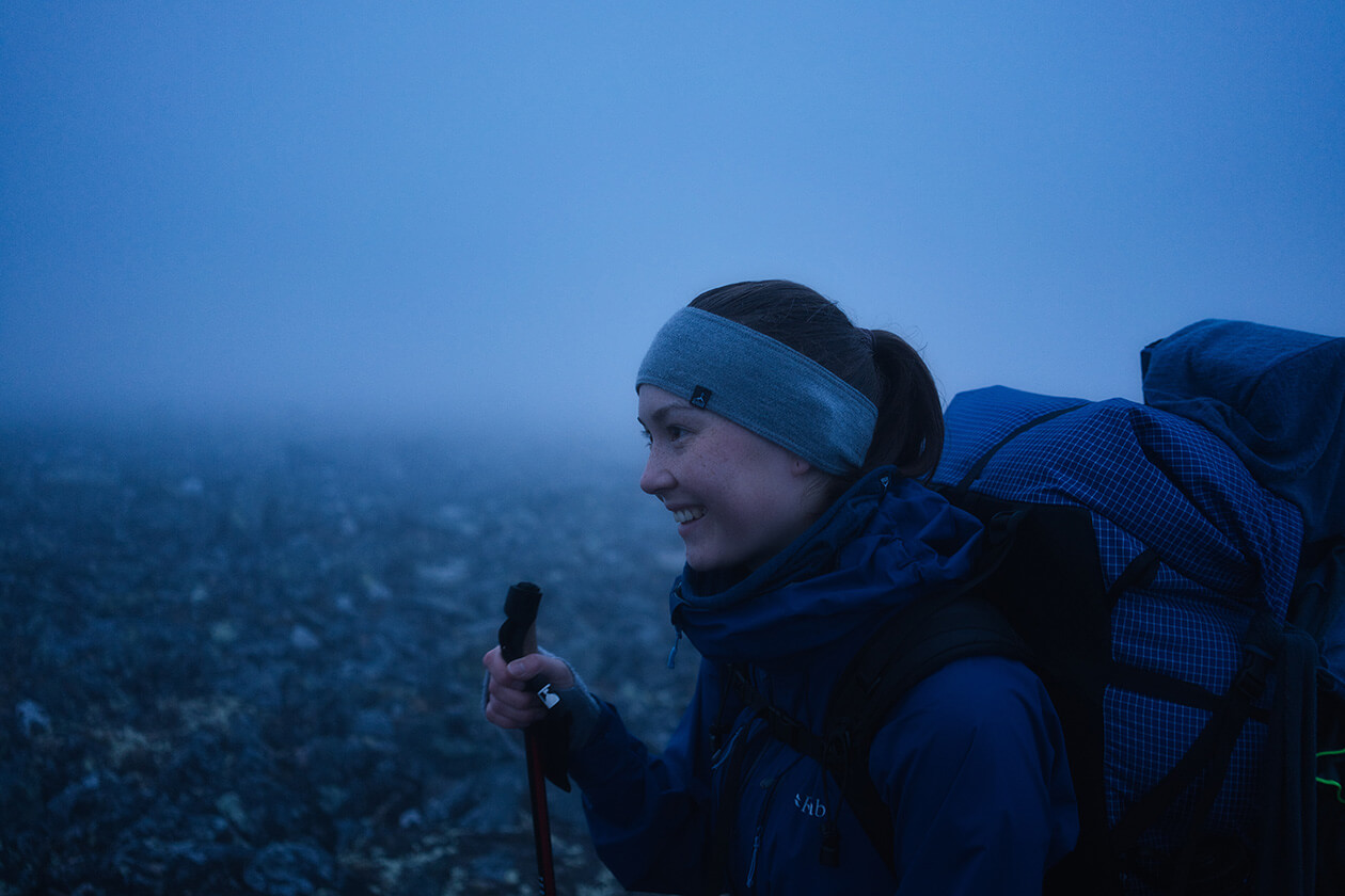
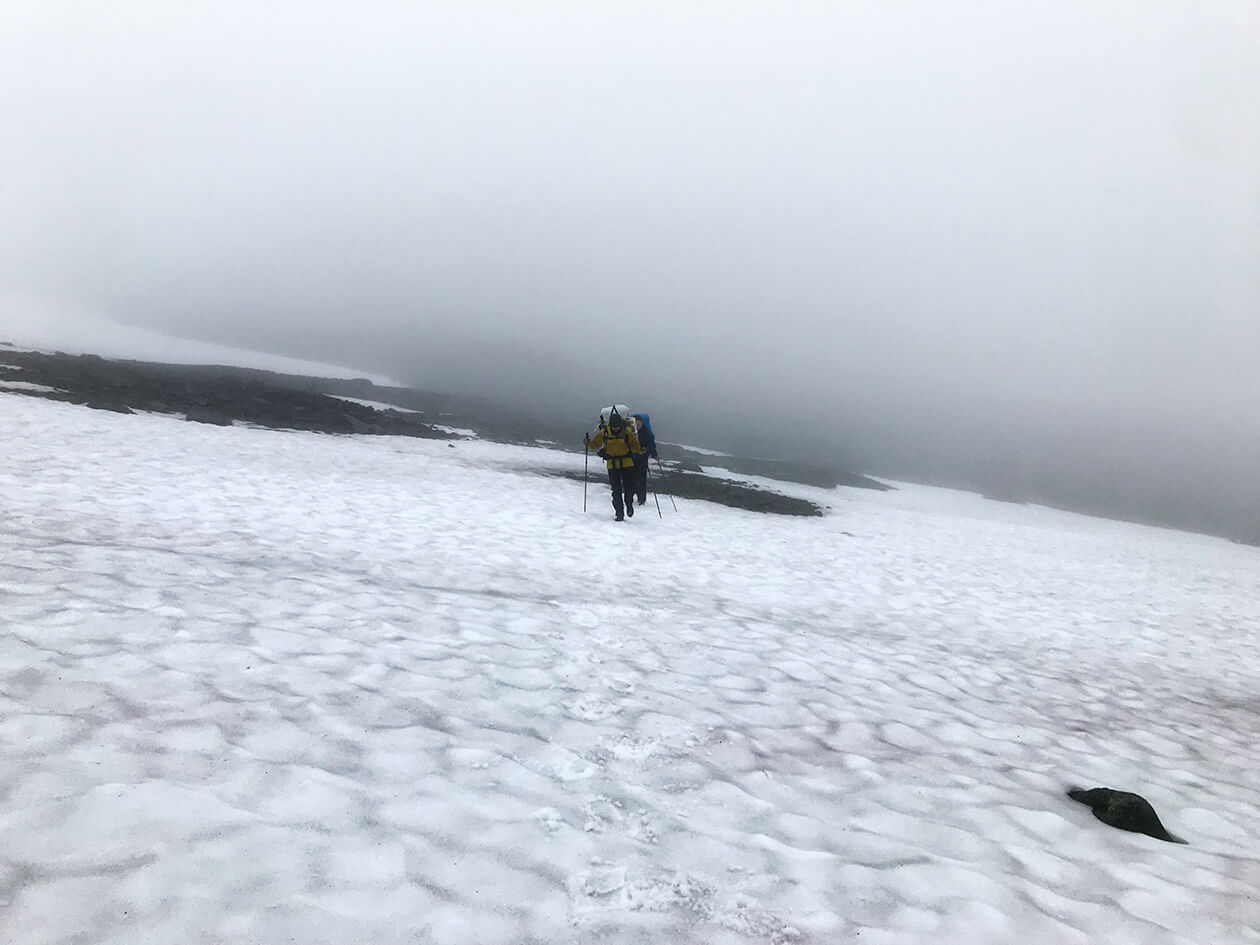
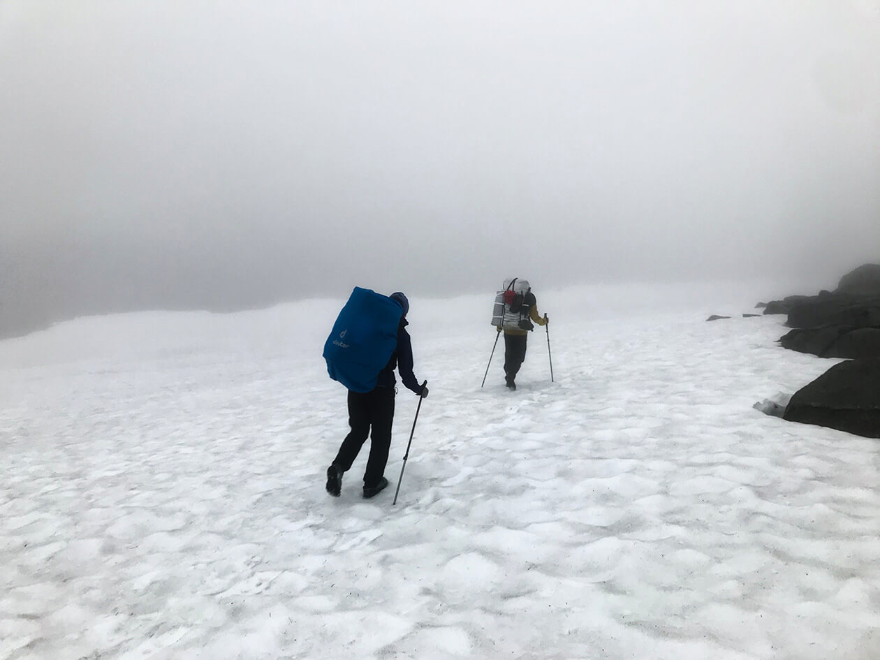
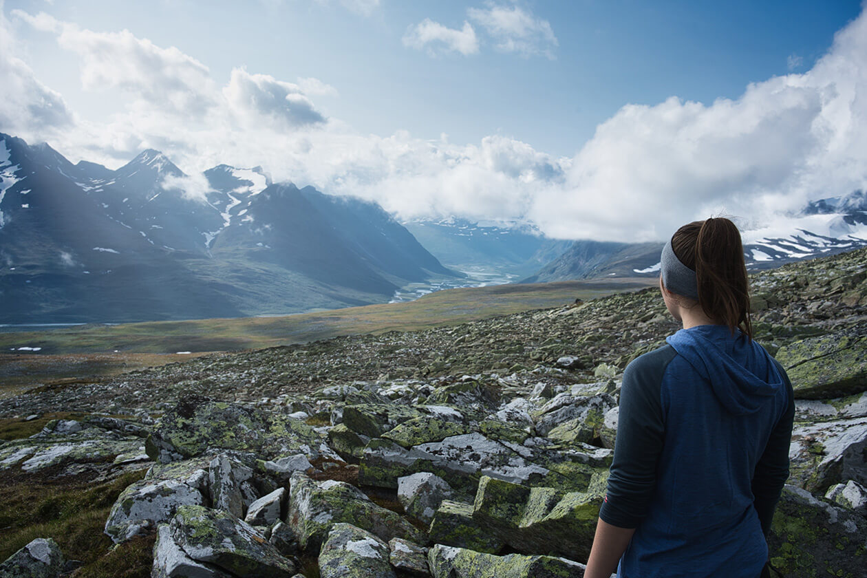
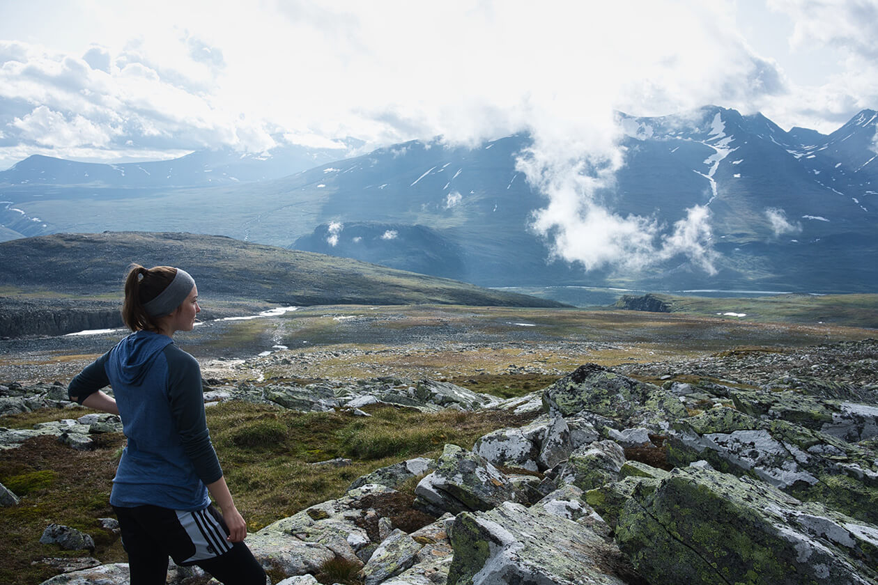
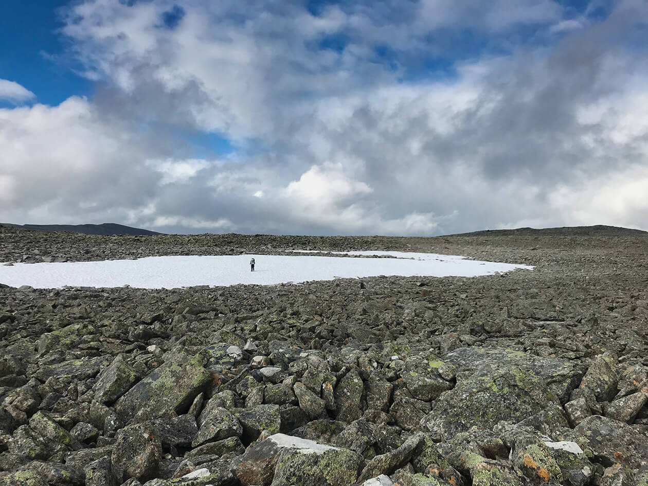
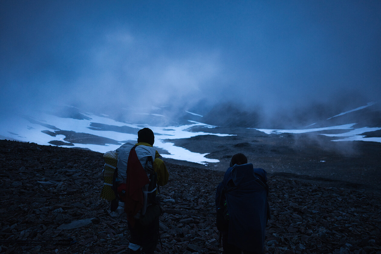
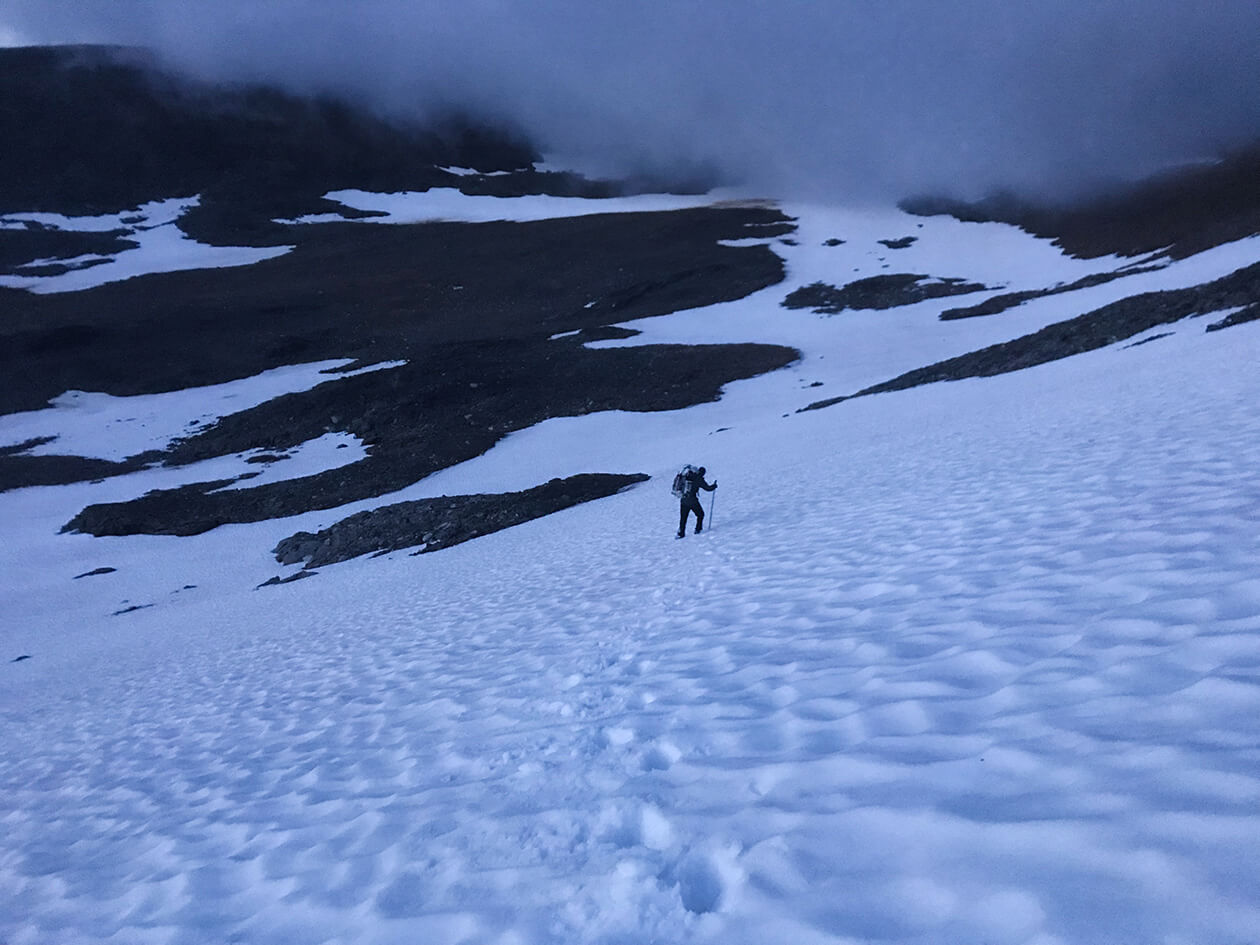
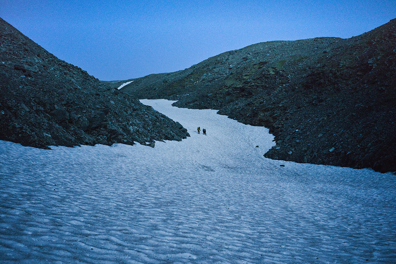
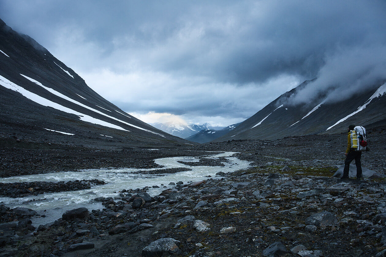
On the other side of the Vássjábákte pass, the clouds opened up to reveal a mystical landscape which probably very few people have ever seen at this time of day. In the end it had been a good idea to hike during the night as we otherwise would not have witnessed such beauty. The clouds were moving rapidly, revealing more and more of the view to us, second by second. I had never encountered so much snow up on this pass before in August. It took us some time walking down the massive snowfield to get to the bottom and into Skájdásjvágge. After traversing a seemingly endless snowfield with a rushing river at the bottom which we had to ford in the dark, we set up camp around 2:30.
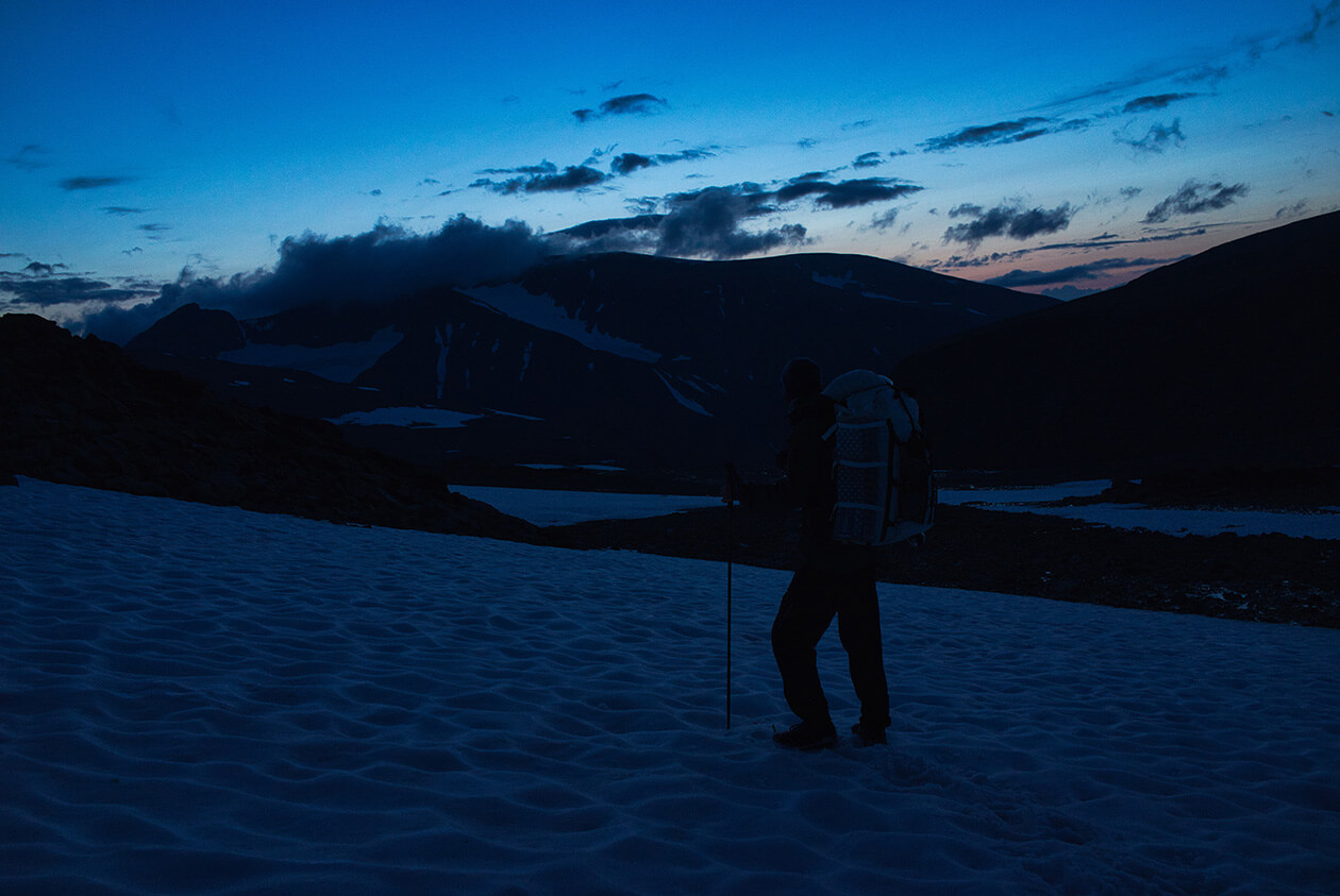
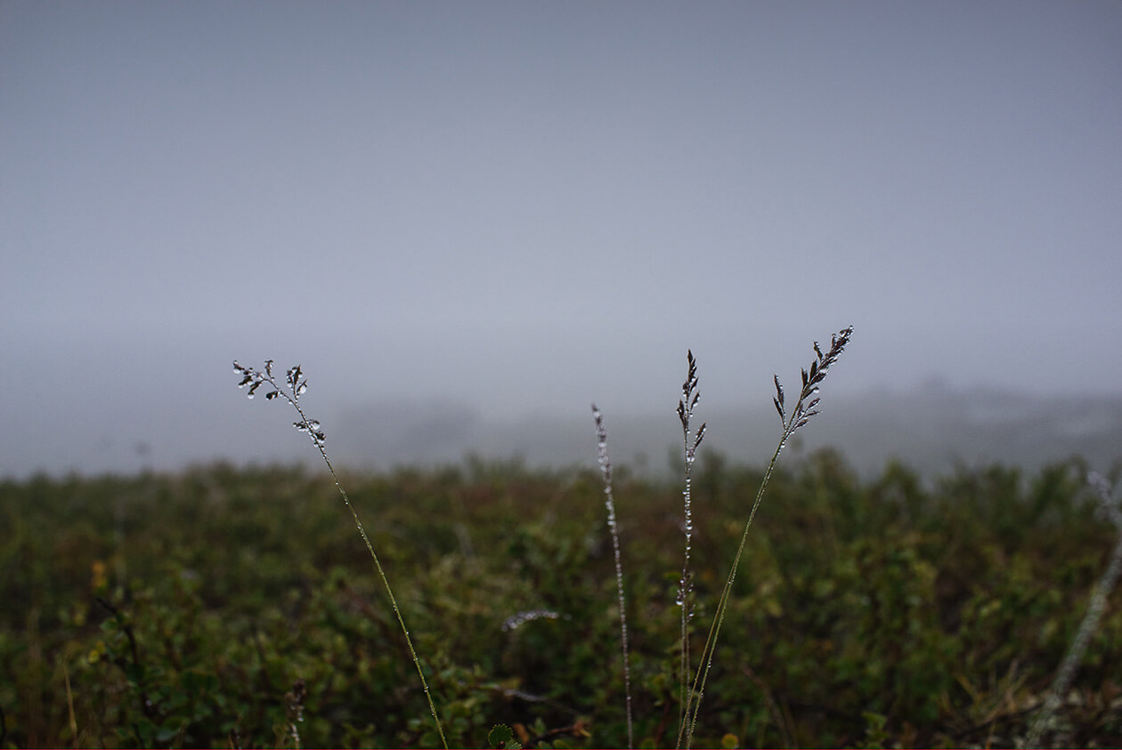
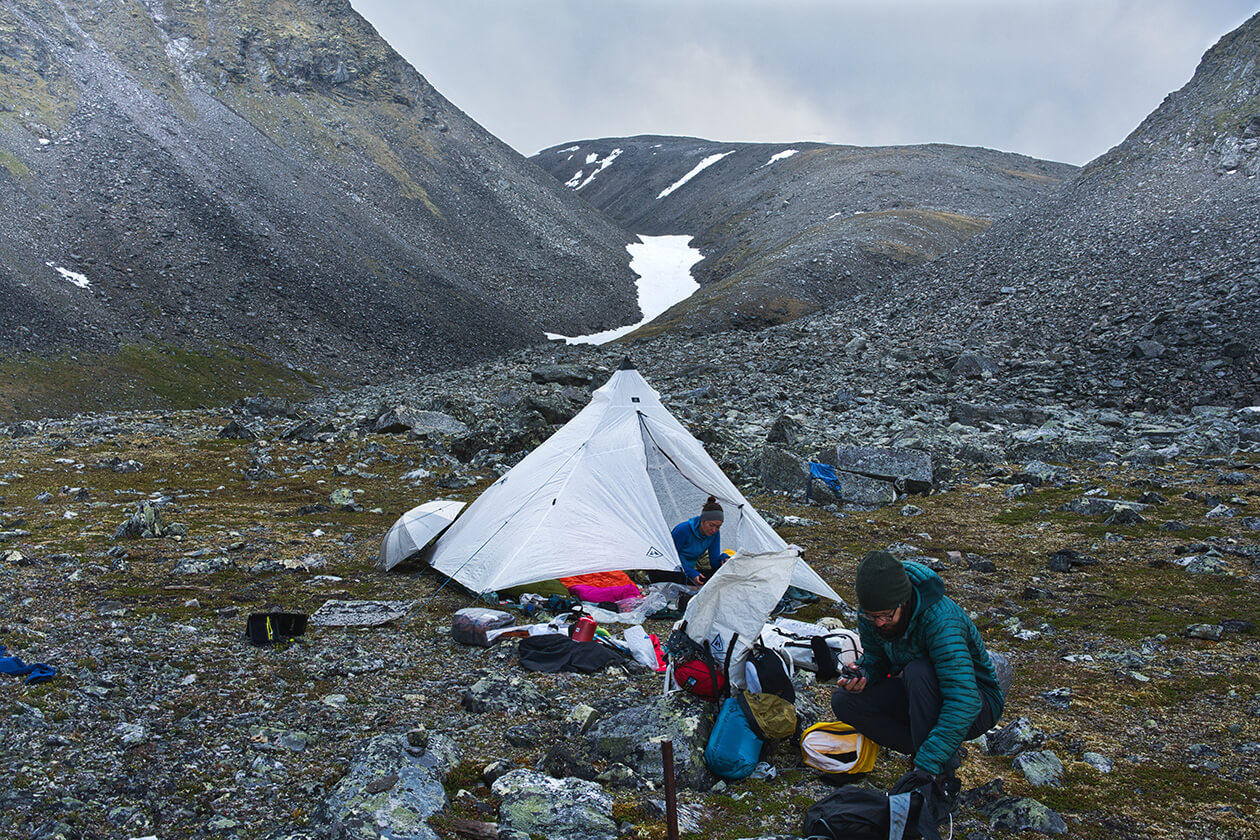
Here glacial meltwater from the Lulep Vássjájiegna glacier mixes with pristine water from the snowfields above, so it’s important to collect enough drinking water before fording the river. Don’t drink glacial meltwater - It can give you an upset stomach. Skájdásjvágge is very narrow and steep, so drinking water can be hard and dangerous to reach. That day we had hiked all the way from Rådnik, mostly over boulder fields, staying high up to avoid the swampy lower areas of Vássjávágge. This was one of the more demanding sections of our hike. It rained heavily that night and the wind was fierce.
10.08.2019 - Day 8 (Skajdasjvágge > Basstavágge - 11,2 km):
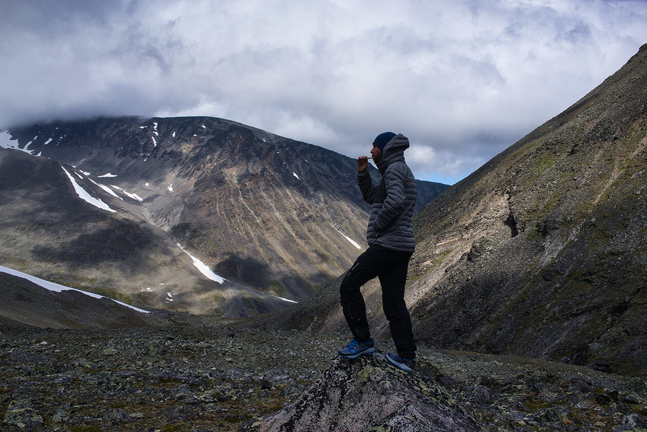
After that very strenuous night hike, we decided that today we would only hike a rather short distance to get to what I knew to be a nice campsite in Basstavágge. Basstavágge is a narrow valley situated between the Ähpár and the Skårki massive. There is little to no vegetation on the eastern side, but as the valley opens up to the west it starts to become greener. Back in the day, the Samis held Basstavágge to be a mystical place, only to be visited by the Nåjder – the Sami priests who walked through the valley with their holy drums. Throughout the day there were lots of rain showers and it was quite cold and windy. It feels to me that Basstavágge always has bad weather as on my many hikes through there, I have never experienced it otherwise.

We found a great campsite in the western part of the valley and used our umbrellas and other gear to keep the wind from blowing into the shelter from underneath. This day, it was quite an easy walk. This first part of our descent into Basstavágge was quite steep but as soon as we reached the bottom and the valley opened up it was easy going. There are lots of reindeer trails in Basstavágge because the Sami people like to use this valley to herd their reindeer into Sarek for Summer grazing. The Sami settlement Rinim is situated near the eastern opening of Basstavágge. That night there was a harsh wind blowing rain underneath our tent.